print, etching
#
neoclacissism
#
dutch-golden-age
# print
#
etching
#
old engraving style
#
landscape
#
etching
#
cityscape
#
history-painting
Dimensions: height 335 mm, width 593 mm
Copyright: Rijks Museum: Open Domain
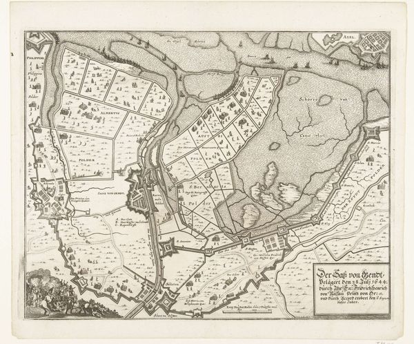
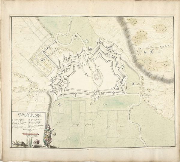
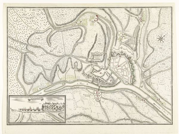
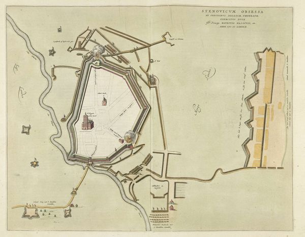
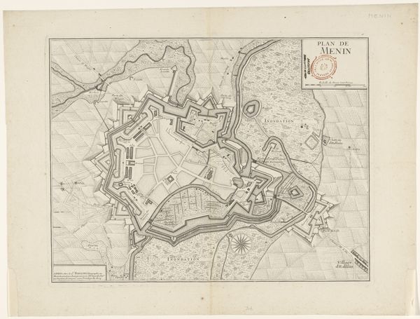
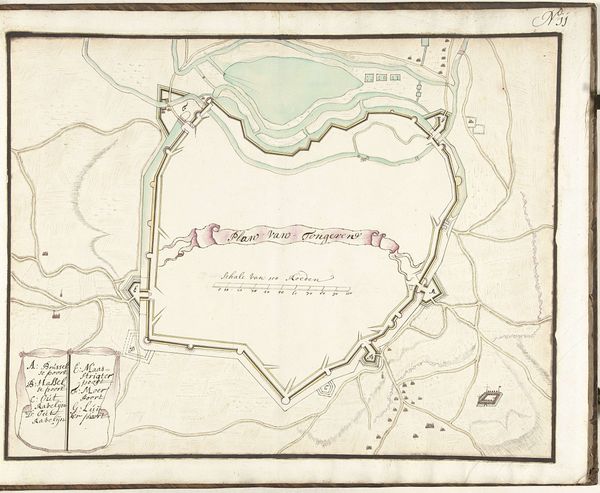
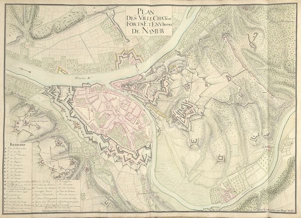
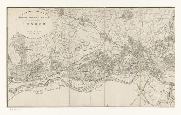
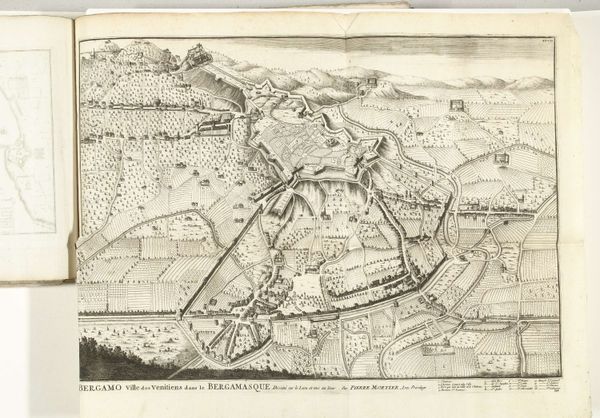
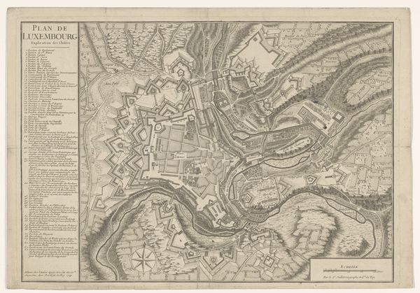
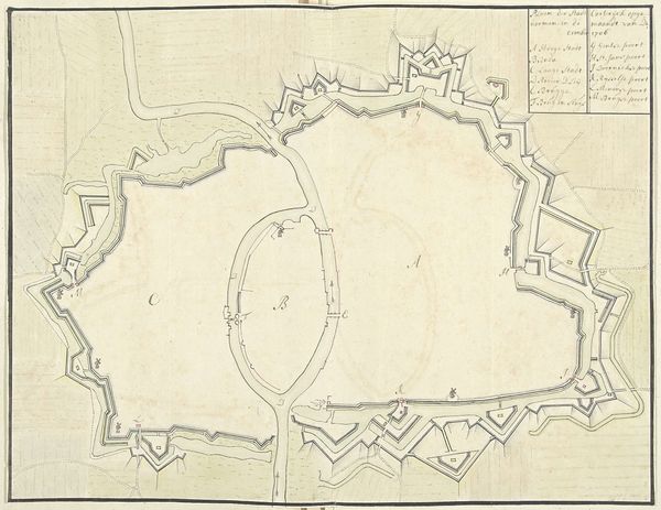
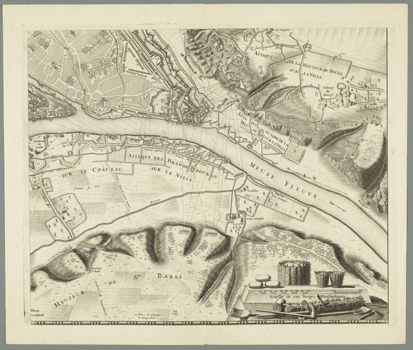
Cornelis van Baarsel made this map of Haarlem and its surrounding areas, rendered in ink and watercolor on paper. The map is highly detailed. It uses a delicate combination of line work and washes of color. The material qualities of the paper lend a sense of fragility to the scene, while the precision of the cartography speaks to the growing importance of commerce in the Netherlands. Notice how the landscape is neatly divided into parcels of land. These divisions speak to the emergence of a modern conception of property. Moreover, the care and attention given to the rendering of the terrain reflects a deep engagement with the land and its potential. Each mark serves a dual purpose. It not only accurately represents geographical features but also communicates the intense labor that went into surveying, measuring, and mapping this region. This piece challenges our typical notions of art. It invites us to consider the immense labor involved in transforming the physical world into a representational form.
Comments
No comments
Be the first to comment and join the conversation on the ultimate creative platform.
