print, etching, engraving
#
medieval
# print
#
etching
#
old engraving style
#
etching
#
line
#
cityscape
#
engraving
Dimensions: height 391 mm, width 508 mm
Copyright: Rijks Museum: Open Domain
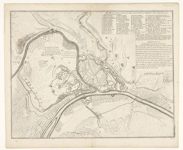
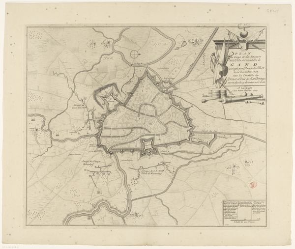
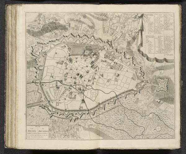
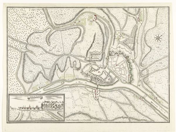
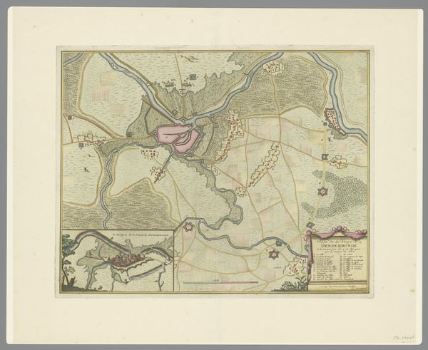
This anonymous print shows a bird's-eye view of Menen, a town in present-day Belgium. While undated, its visual language points to a time when military strategy profoundly shaped social and urban spaces. The image meticulously maps Menen's fortifications. We see complex layers of walls and moats designed to repel invaders. The "inondation" areas, marked for intentional flooding, reveal how the very landscape was weaponized. Made in a period of intense European conflict, this map reflects both the practical concerns of territorial defense, and a cultural obsession with military might. Prints like these, often commissioned by military engineers or local governments, weren't just tools for war. They were also symbols of power and control, meant to impress viewers with the ingenuity and resources invested in defending a city. To truly understand this map, we need to consult historical archives, military records, and urban plans. By doing so, we can reveal the complex interplay between art, war, and society in early modern Europe.
Comments
No comments
Be the first to comment and join the conversation on the ultimate creative platform.
More like this