drawing, ink, pen
#
drawing
#
baroque
#
pen illustration
#
landscape
#
ink line art
#
ink
#
pen-ink sketch
#
thin linework
#
pen work
#
pen
#
cityscape
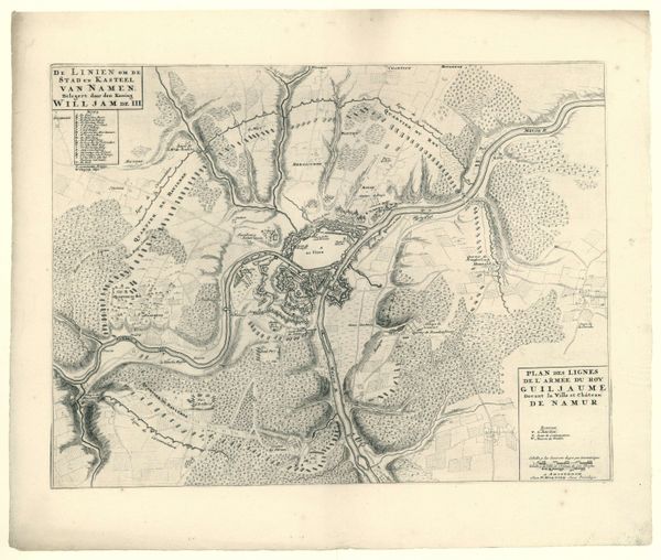
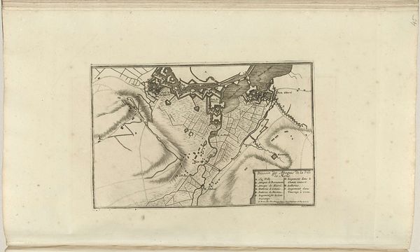
Dimensions: height 420 mm, width 558 mm
Copyright: Rijks Museum: Open Domain
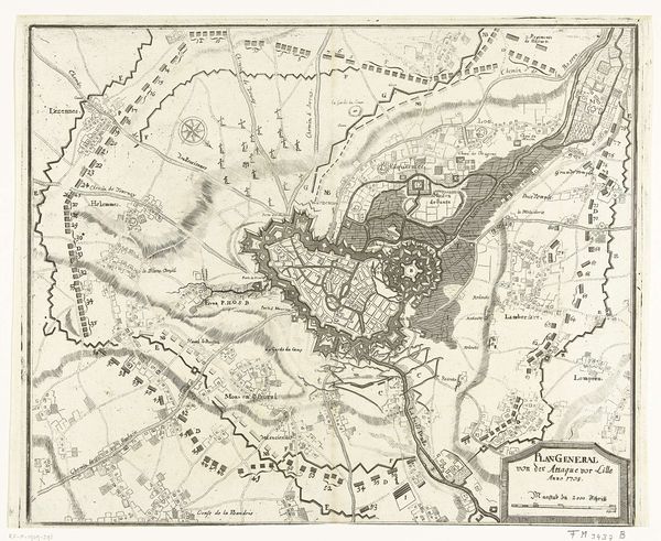
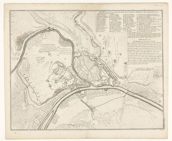
This is an anonymous map of the city of Namur with its castle, besieged by the French army in 1692. Created during a period of intense European conflict, this map is more than just a geographical document; it is a cultural artifact reflecting the political tensions and military strategies of the time. The siege of Namur was a pivotal event in the Nine Years' War, a conflict largely fueled by Louis XIV's expansionist ambitions. Maps such as these played a crucial role, serving as strategic tools for military planning. But beyond their practical function, they also shaped public perception and national identity. Consider the emotional weight of such a map for those living in Namur, or for the soldiers on either side. It represents a landscape of conflict, where personal lives and communal spaces become battlegrounds. The detailed rendering of fortifications and troop placements speaks to the era’s preoccupation with military might. The map invites us to reflect on the human cost of territorial disputes.
Comments
No comments
Be the first to comment and join the conversation on the ultimate creative platform.
More like this