drawing, pen
#
architectural sketch
#
drawing
#
aged paper
#
baroque
#
old engraving style
#
sketch book
#
landscape
#
personal sketchbook
#
pen-ink sketch
#
pen work
#
sketchbook drawing
#
pen
#
cityscape
#
storyboard and sketchbook work
#
sketchbook art
Dimensions: height 455 mm, width 570 mm
Copyright: Rijks Museum: Open Domain
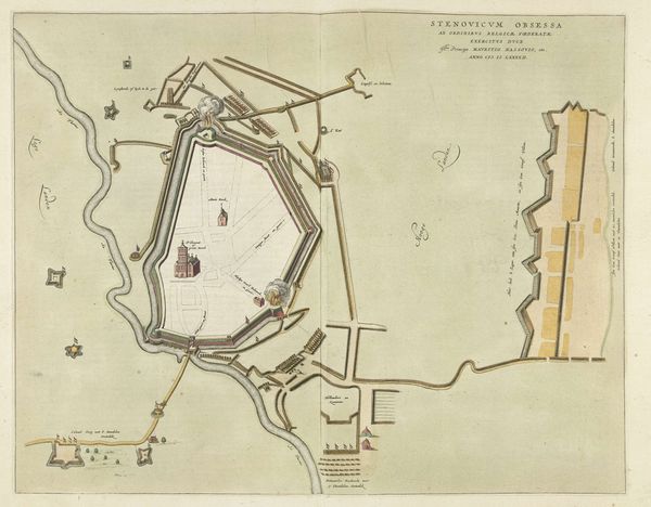
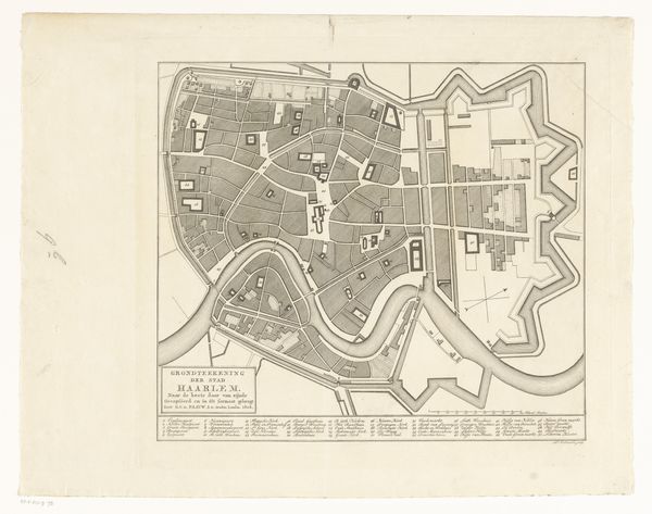
This is de Gruy's "Siege of Mons", a map meticulously rendered in 1709. It is more than a geographical document; it is a narrative of power, strategy, and human struggle etched onto paper. Observe the Vauban-style fortifications of Mons, with their intricate star-shaped bastions designed to deflect cannon fire. These forms echo, albeit in a martial context, the rosettes found in ancient Minoan art, symbols of protection and cosmic order adapted here for the grim realities of war. Even in the theater of conflict, humanity seeks to impose order, to find patterns that resonate with deeper, perhaps subconscious, desires for security. The map is a stage upon which a drama of territorial ambition unfolds. Each line, each carefully placed marker, tells a story of siege and resistance. This cartographic representation is not merely a neutral depiction of space, but a charged image imbued with the tension and anxiety of a city under duress. The siege, a recurrent motif throughout history, embodies primal fears of enclosure, echoing the labyrinthine myths that have haunted our collective imagination.
Comments
No comments
Be the first to comment and join the conversation on the ultimate creative platform.
More like this