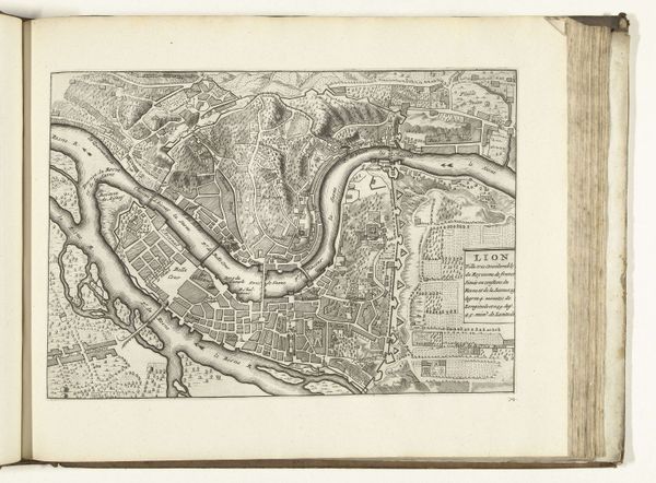
print, etching
#
baroque
# print
#
etching
#
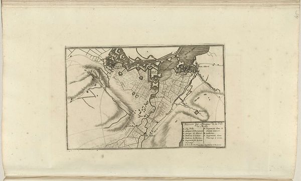
landscape
#
etching
#
cityscape
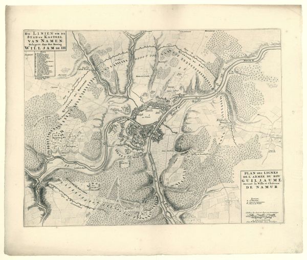
Dimensions: height 540 mm, width 630 mm
Copyright: Rijks Museum: Open Domain
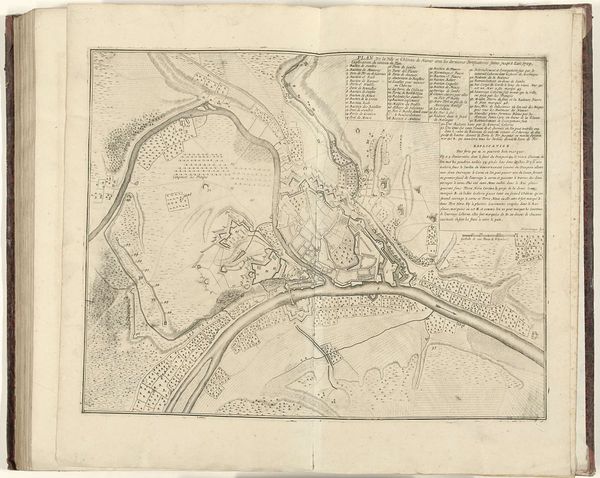
This is a section of a large map illustrating the siege of Namur, created in 1695 by Gilliam van der Gouwen. Observe how the river Meuse dominates the scene, acting as a powerful symbol of division and connection. Throughout history, rivers have been depicted both as barriers and as vital arteries of civilization. Here, the river’s strategic importance is clear. It dictates the positioning of fortifications and troop movements, embodying the tension between natural forces and human endeavor. The depiction of fortifications, meticulously rendered, speaks to humanity’s enduring quest for security and dominance, an effort echoed in countless sieges illustrated over millennia. Consider how such cartographic symbols recur across time, from ancient Roman road maps to contemporary satellite images. Each reflects a deep-seated need to chart, control, and ultimately, comprehend our world. This drive is not merely rational; it is imbued with a primal urge to master our environment, mirroring our subconscious struggle against chaos.
Comments
No comments
Be the first to comment and join the conversation on the ultimate creative platform.
More like this