drawing, print, engraving
#
drawing
#
baroque
# print
#
pen sketch
#
perspective
#
geometric
#
cityscape
#
engraving
Dimensions: height 445 mm, width 605 mm
Copyright: Rijks Museum: Open Domain
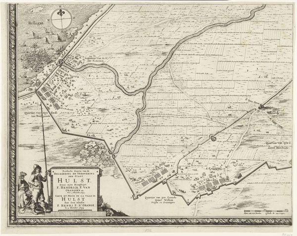
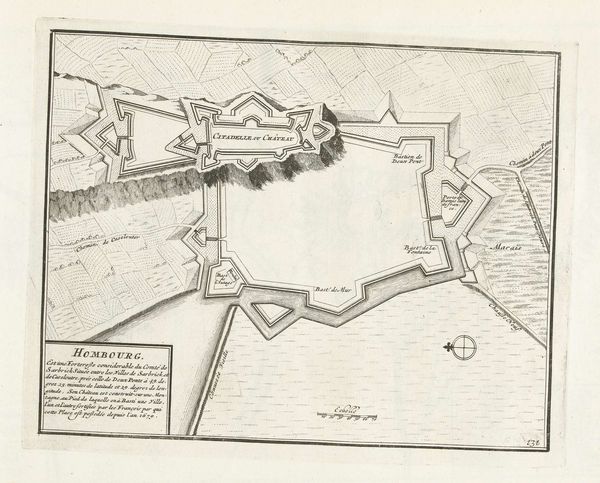
This is an anonymous map of Bergamo, made around 1702, offering a bird's-eye view of the city and its surrounding landscape. Created during a time of shifting political power in Europe, the map reflects Bergamo's identity as a city under Venetian influence, as it became a strategic point of military and economic interest. The fortifications and defensive structures meticulously detailed in this map speaks volumes about the ever-present tensions and power struggles of the era. The map gives prominence to the military architecture, which suggests an emphasis on control, power, and the imposition of order. As we contemplate this map, consider the countless untold stories of the people who lived, worked, and fought within these walls. Consider how their lives were shaped by the cartographic and political forces that sought to define and control their space. What might this map reveal about the relationship between power, place, and identity in the early 18th century?
Comments
No comments
Be the first to comment and join the conversation on the ultimate creative platform.
More like this