drawing, print, ink, engraving
#
drawing
#
baroque
#
pen drawing
# print
#
ink
#
linocut print
#
cityscape
#
engraving
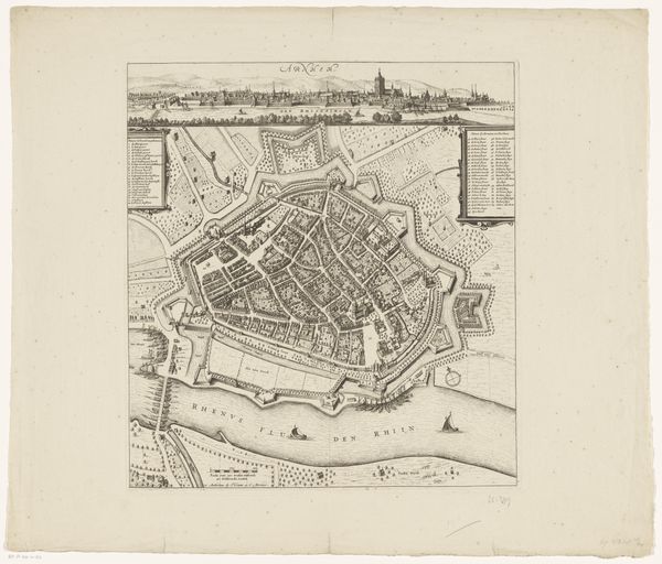
Dimensions: height 428 mm, width 549 mm
Copyright: Rijks Museum: Open Domain
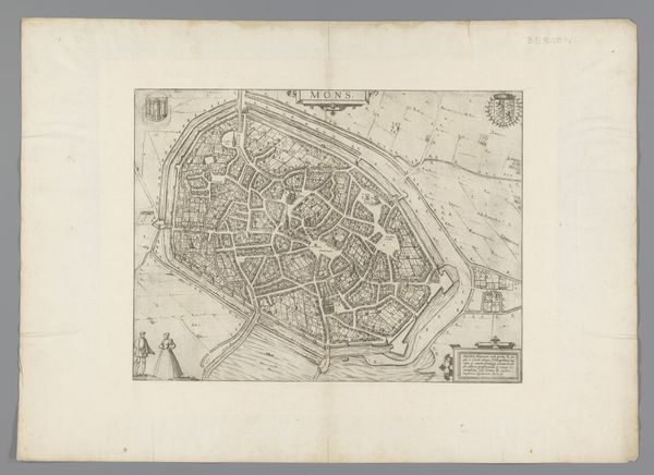
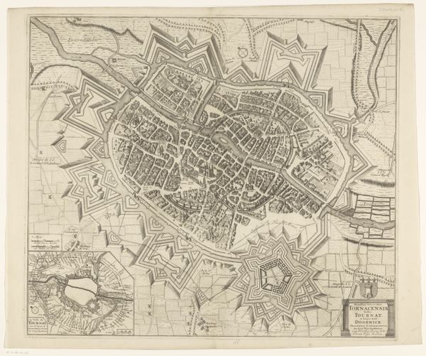
Joachim Ottens's plan of Mons, made with etching, presents a bird's-eye view, meticulously detailed. The city's layout is rigidly geometric, encased within elaborate fortifications that command visual attention. The stark contrast between the dense, organic urban sprawl and the precise, angular defenses creates a visual tension, reflecting a structuralist opposition between nature and imposed order. Lines meticulously define the architectural forms, emphasizing the fortifications' function. The texture achieved through etching renders a tactile quality, invoking a sense of the city's physical density and the weight of its defenses. Ottens captures not just a physical space, but a system of signs. The visual organization—city versus defense—speaks to broader themes of power, control, and the imposed order of human civilization. The very act of mapping is a form of asserting control, an attempt to codify and understand a complex reality through a semiotic system.
Comments
No comments
Be the first to comment and join the conversation on the ultimate creative platform.
More like this