drawing, print, ink, engraving
#
drawing
#
baroque
# print
#
ink
#
cityscape
#
engraving
Dimensions: height 435 mm, width 534 mm
Copyright: Rijks Museum: Open Domain
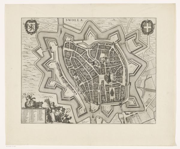
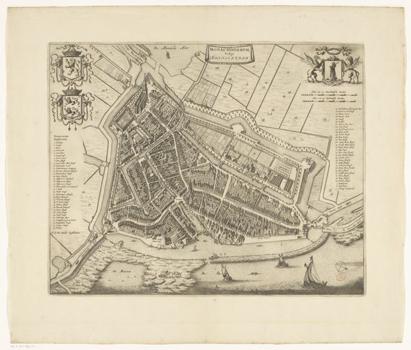
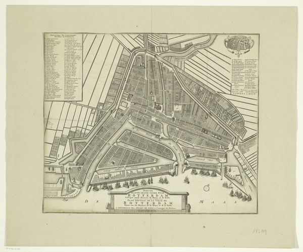
This undated map of ‘s-Hertogenbosch, made by an anonymous artist, gives us a bird’s-eye view of the city and the surrounding area. The map meticulously charts the city’s urban layout, its fortifications, and key landmarks. Maps like this served multiple purposes in the early modern period. Beyond their practical function, they were tools of power. The detailed depiction of fortifications highlights the city’s strategic importance but also emphasizes the control and knowledge held by those who commissioned and possessed the map. ‘s-Hertogenbosch, located in the Southern Netherlands, now part of the Netherlands, was a site of strategic and religious conflict in the 16th and 17th centuries. Its cartographic representation reflects this tension. It was a tool for consolidating power within the city but also for asserting its status in relation to other political and economic centers. To understand the map fully, we might consult military archives, urban planning documents, and local histories to uncover its strategic and political functions.
Comments
No comments
Be the first to comment and join the conversation on the ultimate creative platform.
More like this