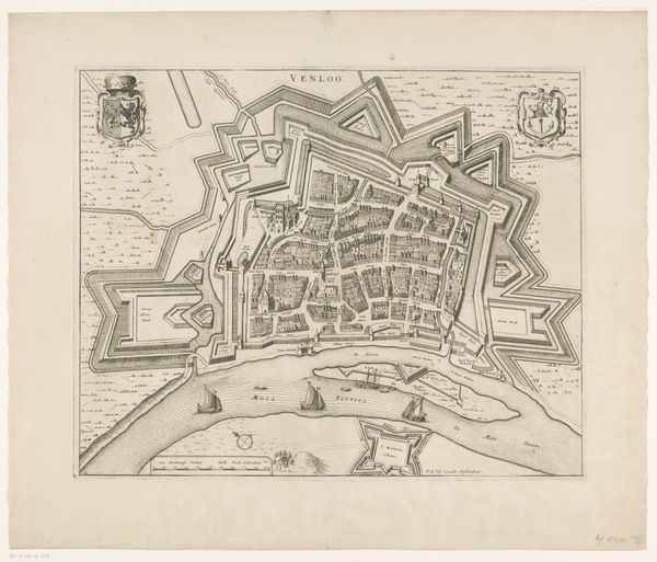
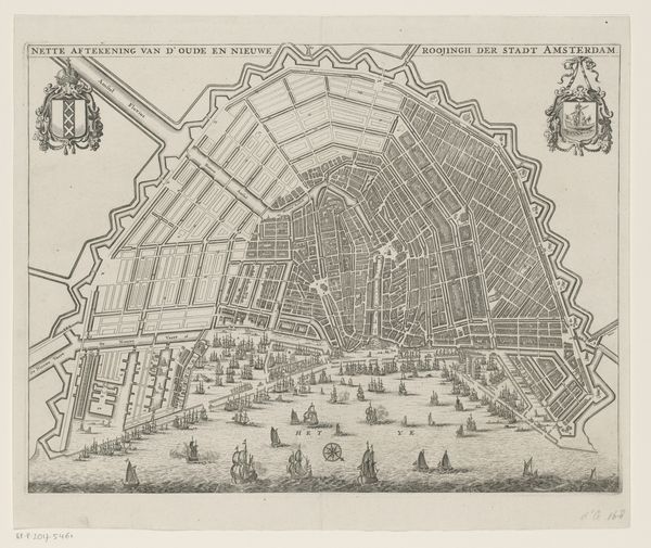
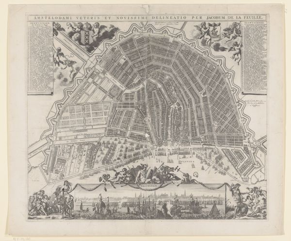
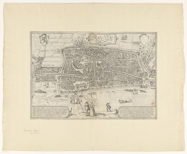
drawing, print, ink, engraving
#
drawing
#
pen drawing
# print
#
landscape
#
ink
#
geometric
#
cityscape
#
engraving
Dimensions: height 421 mm, width 531 mm
Copyright: Rijks Museum: Open Domain
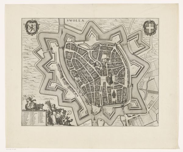
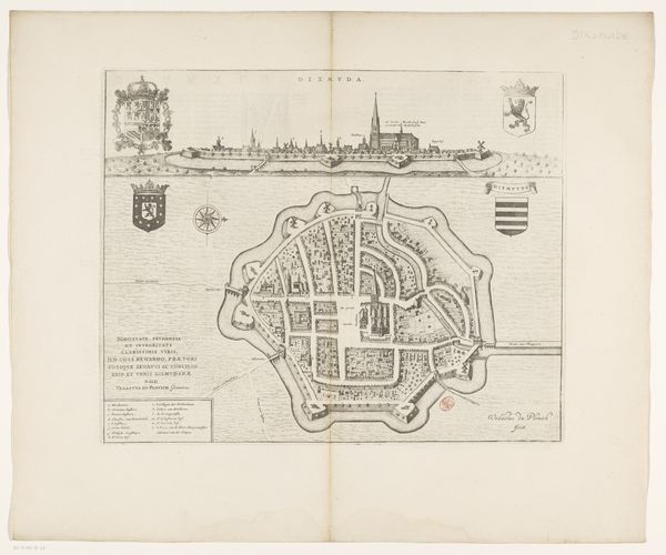
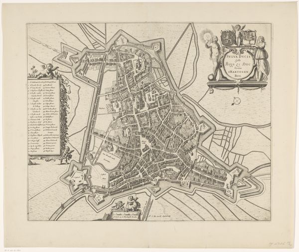
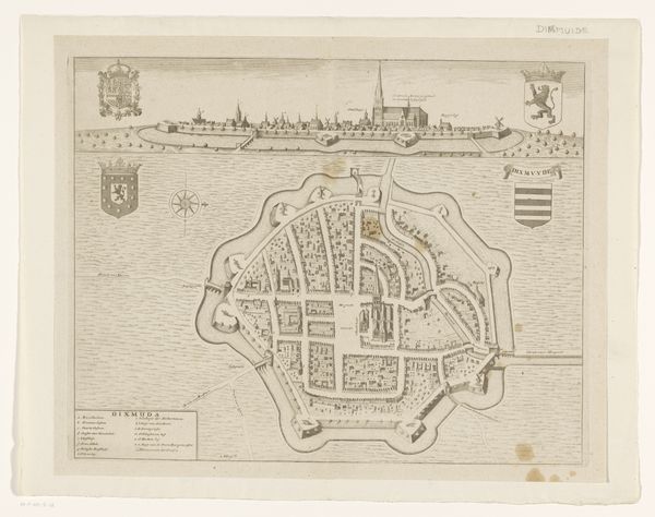
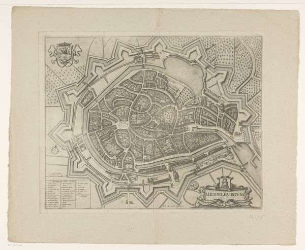
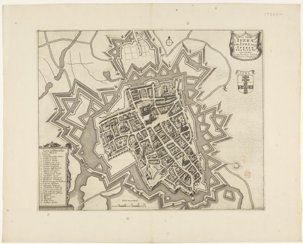
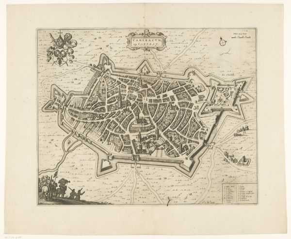
This anonymous map of Breda offers a bird's eye view of the city, its fortifications, and surrounding landscape in the early modern period. It's an engraving, a medium that allowed for detailed and reproducible images, reflecting the growing importance of cartography and urban planning. The map is more than just a visual representation; it’s a statement of power and control. Breda, in the Netherlands, was a strategic city, and the map highlights its military defenses, reflecting the turbulent political climate of Europe at the time. Note the careful rendering of the city's fortifications; these star-shaped walls represent the latest in military technology, designed to withstand siege warfare. This image subtly comments on the social structures of its time, as the map would have been commissioned by city leaders, who often were military leaders too. To truly understand this map, we need to consult historical documents, military archives, and urban plans. By placing it within its historical context, we reveal its deeper meanings about power, politics, and the art of making a city.
Comments
No comments
Be the first to comment and join the conversation on the ultimate creative platform.
More like this