mixed-media, print, engraving
#
mixed-media
#
baroque
# print
#
landscape
#
geometric
#
islamic-art
#
decorative-art
#
engraving
Dimensions: height 180 mm, width 263 mm
Copyright: Rijks Museum: Open Domain
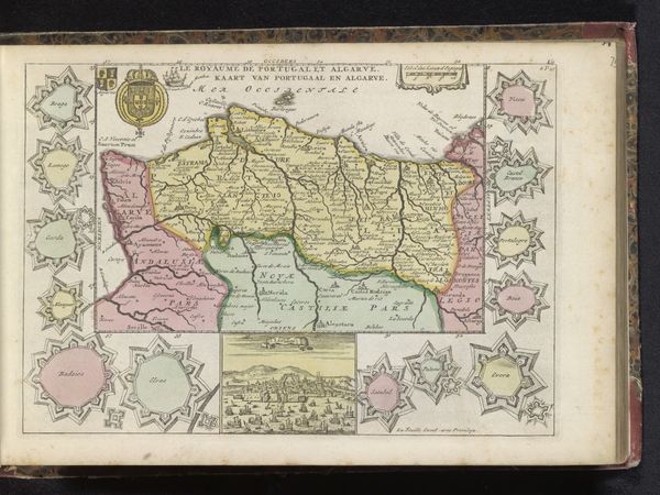
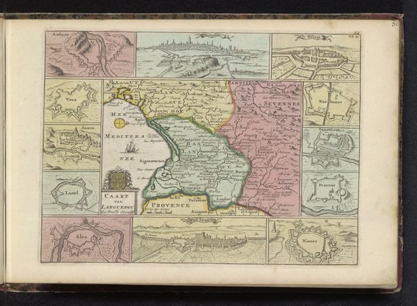
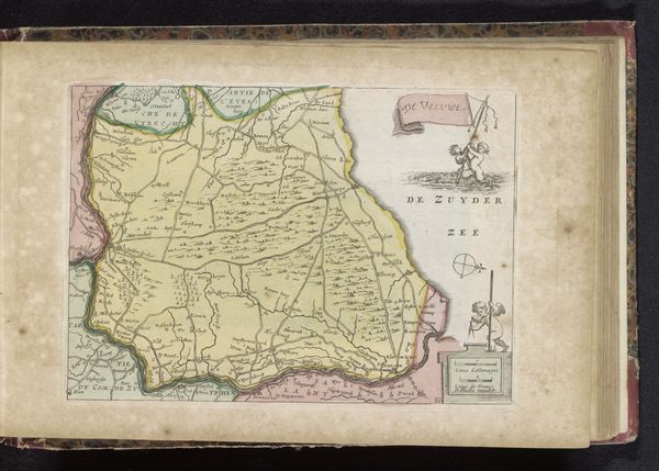
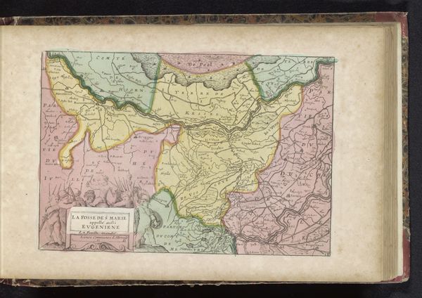
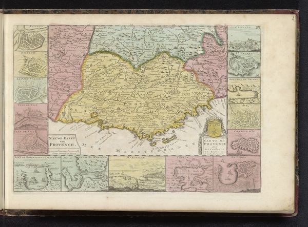
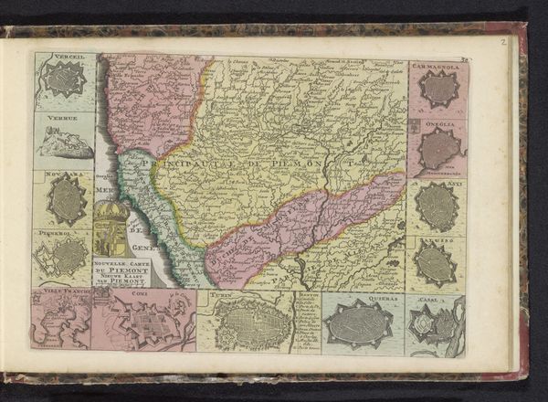
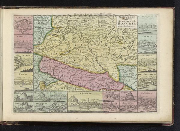
This is an anonymous map of Andalusia, Spain, including a depiction of the naval battle of Malaga in 1704. It's a moment caught in time during the War of the Spanish Succession. This map reveals more than just geographical data; it subtly illustrates the power struggles and colonial ambitions of the time. The inclusion of the naval battle isn't just a historical record, but a statement about control and dominance over maritime routes, critical for trade and military power. Andalusia, a region with a rich and complex history marked by layers of Islamic and Christian rule, becomes a stage upon which European powers vie for control. Consider how maps like these were instrumental in shaping identities and territories. They were used to both claim and control. This map serves as a reminder of how deeply intertwined geography, power, and identity are, and how cartography itself can be an act of cultural and political assertion.
Comments
No comments
Be the first to comment and join the conversation on the ultimate creative platform.
