drawing, print, etching, pen
#
drawing
#
baroque
# print
#
etching
#
landscape
#
coloured pencil
#
pen work
#
pen
#
cityscape
#
realism
Dimensions: height 172 mm, width 255 mm
Copyright: Rijks Museum: Open Domain
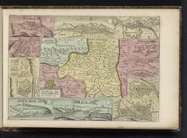
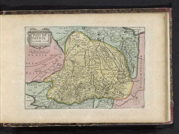
Editor: Here we have an etching titled "Kaart van de Provence," a map of Provence created anonymously sometime between 1700 and 1735. It’s fascinating how it combines the detailed geography with these almost dreamlike, pastel colours. What do you see when you look at this? Curator: This piece tickles my fancy! It's more than a map; it's a glimpse into how the world was perceived, colored not just by geography but by the artist's very imagination. Notice how the main map of Provence is bordered by cityscapes. They act like windows offering snapshots of local life and further extending the reach of the composition. Can you sense the delicate balance between function and pure fancy? Editor: I see what you mean. It is a tool but it also evokes this almost idealized version of the region. And that blend feels very Baroque. Curator: Exactly! The Baroque era loved drama, embellishment, and a bit of a show. This map isn't just showing you where things are, but also trying to impress upon you the grandeur and importance of Provence. The artist doesn't shy away from flourishing detail – have a peek at those little vignettes and flourishes along the coastline! Do you think it captures the essence of Provence? Editor: I hadn't thought of it like that. I was too caught up in the aesthetic! It’s not just information, but also almost… propaganda? Curator: Propaganda is too harsh a word. But certainly it aims to present Provence in the best light possible. Makes you wonder what the reality was, and how this compares. A journey to Provence, both real and imagined! Editor: Thanks for showing me that there is much more here than just what meets the eye at first glance. Curator: My pleasure. Now go out and explore some maps yourself! See where they take you.
Comments
No comments
Be the first to comment and join the conversation on the ultimate creative platform.
More like this