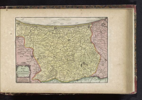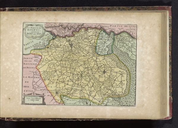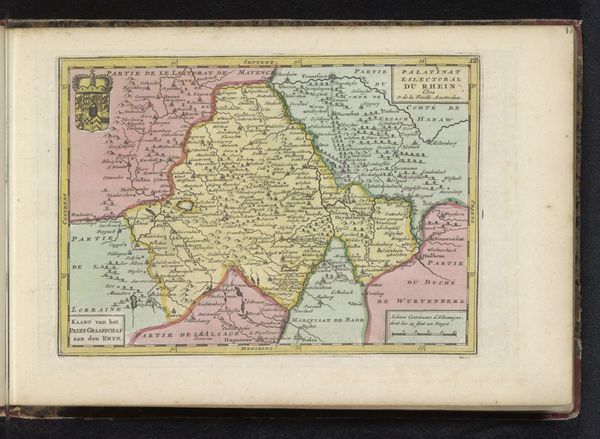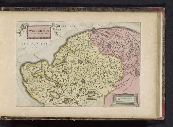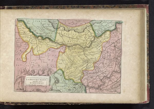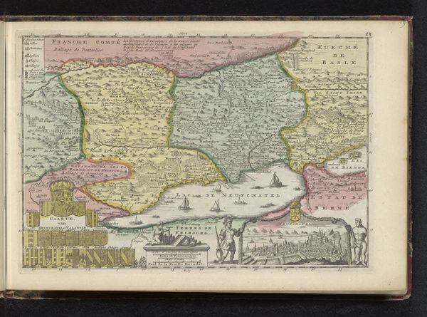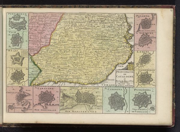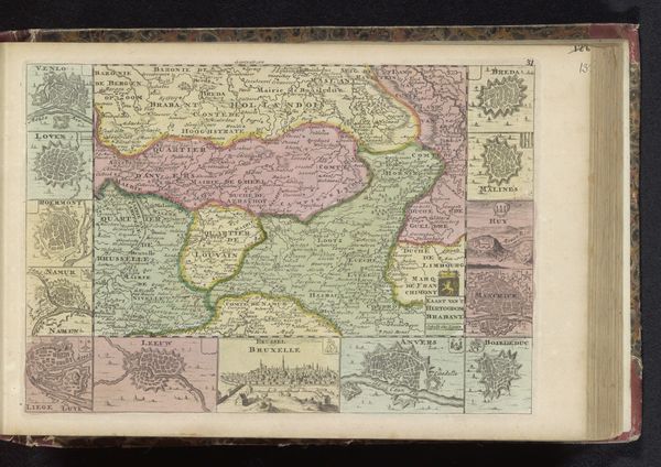
drawing, coloured-pencil, print, paper
drawing
coloured-pencil
baroque
landscape
paper
coloured pencil
Dimensions: height 163 mm, width 228 mm
Copyright: Rijks Museum: Open Domain
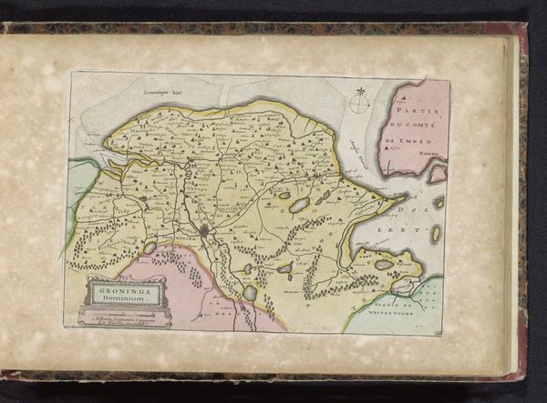
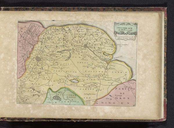
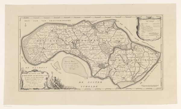
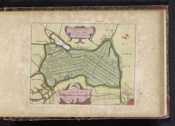
This is an antique map of the Veluwe region. Though the artist is unknown, it gives us a fascinating glimpse into how this area of the Netherlands was perceived and represented in the past. Maps are never neutral; they reflect the priorities and biases of their creators. Notice how the Veluwe is defined in relation to the Zuiderzee, now known as the IJsselmeer. This tells us something about the region's historical importance as a coastal area and its connection to maritime trade. Consider the act of mapping itself. Who had the power to define and represent this space? What perspectives might be missing from this depiction? The details included, and excluded, offer insights into the cultural and political landscape. Maps shape our understanding of the world. This map invites us to reflect on how places are imagined, controlled, and remembered, and how these processes are imbued with power.
Comments
No comments
Be the first to comment and join the conversation on the ultimate creative platform.
