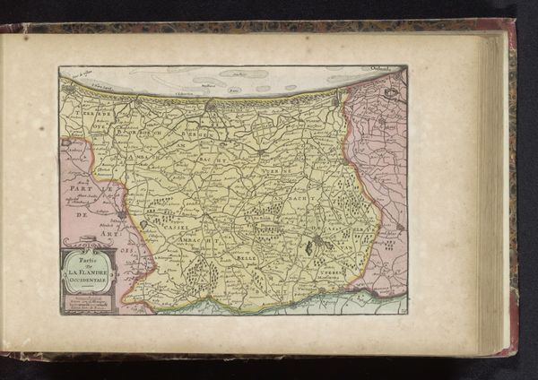
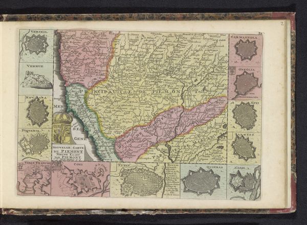
graphic-art, print, engraving
#
graphic-art
# print
#
landscape
#
geometric
#
history-painting
#
engraving
Dimensions: height 177 mm, width 265 mm
Copyright: Rijks Museum: Open Domain
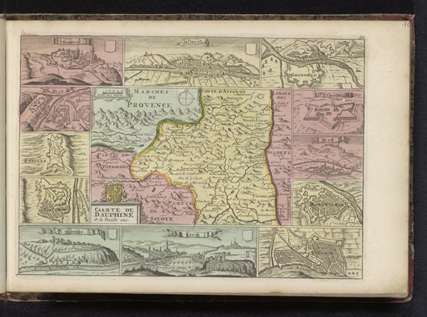
This is an undated map of Neuchâtel created anonymously using ink and watercolour. Maps like this weren't just about navigation, they were powerful tools for establishing and maintaining control. The very act of mapping a territory claims it, imposing a particular vision of order and ownership. Consider how the map depicts towns and boundaries - each choice reinforces existing power structures, showing who controls what. The addition of heraldic symbols and vignettes of local life, subtly promotes the interests of the ruling elite, turning geography into ideology. To fully understand this map, we need to delve into the historical context: Who commissioned it? What was their agenda? By consulting archives, historical records, and other maps from the period, we can begin to uncover the complex social and institutional forces that shaped its creation and meaning.
Comments
No comments
Be the first to comment and join the conversation on the ultimate creative platform.
More like this