print, etching, engraving
#
dutch-golden-age
# print
#
etching
#
old engraving style
#
landscape
#
etching
#
engraving
Dimensions: height 211 mm, width 338 mm, height 267 mm, width 387 mm
Copyright: Rijks Museum: Open Domain
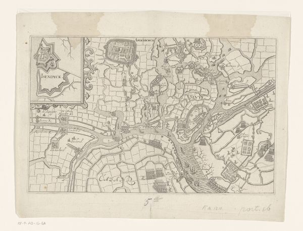
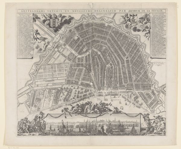
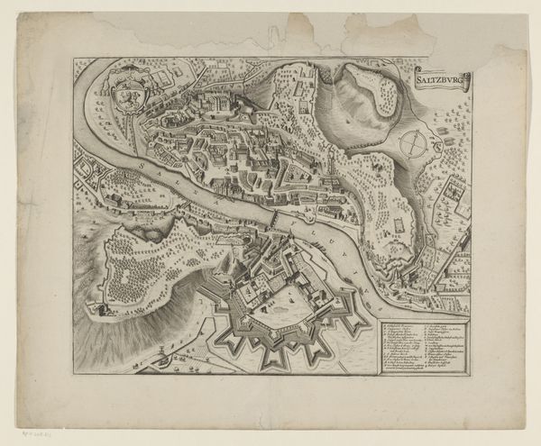
This map of the Rotte and surrounding areas, etched by an anonymous hand, presents us with a fascinating landscape, crisscrossed with waterways and divided into distinct polders. The grid-like organization, meticulously imposed upon the land, speaks to the Dutch mastery of water management, a symbol of their struggle against, and eventual triumph over, the watery depths. This resonates deeply with our collective memory of human endeavors to tame the natural world. Consider the act of mapping itself – an attempt to codify and control the environment. It echoes the ancient practice of marking territory, a primal instinct to define and defend one's space, seen in cultures across time. But here, it also reflects a burgeoning sense of scientific inquiry. The map is a testament to human ingenuity, yet it also evokes a sense of underlying tension between our desire for order and nature's inherent flux. It is this interplay that continues to stir within us, connecting the past to our present experience of the world.
Comments
No comments
Be the first to comment and join the conversation on the ultimate creative platform.
More like this