drawing, print, paper, engraving
#
drawing
#
baroque
#
dutch-golden-age
# print
#
perspective
#
paper
#
geometric
#
line
#
cityscape
#
engraving
Dimensions: height 155 mm, width 231 mm
Copyright: Rijks Museum: Open Domain
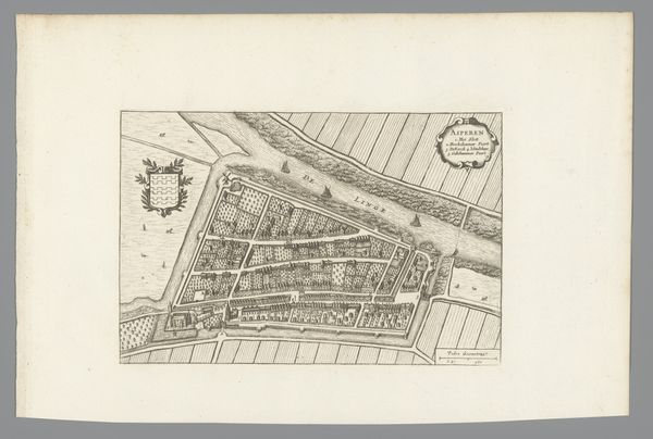
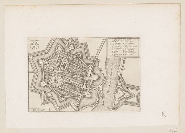
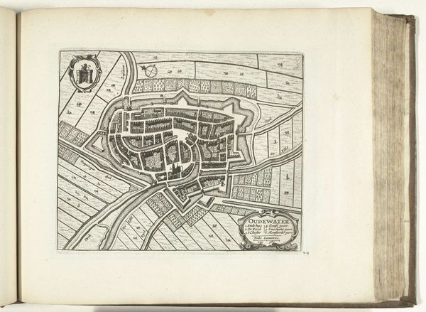
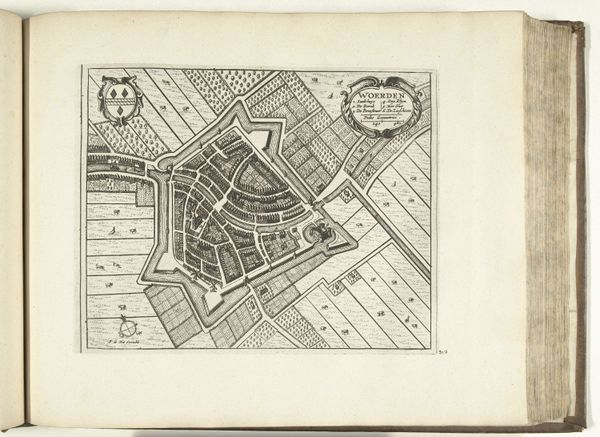
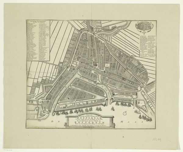
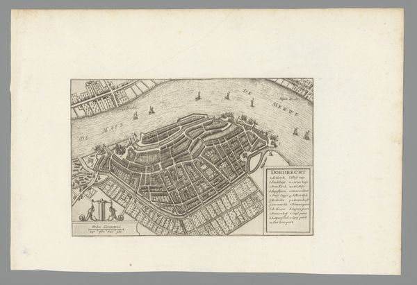
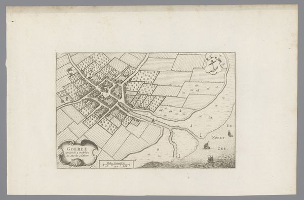
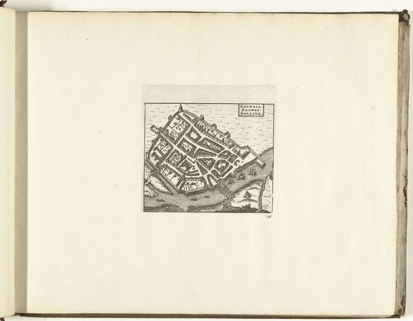
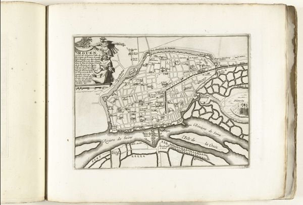
This is an anonymous map of Gouda, made using an engraving technique. This detailed depiction of the Dutch city offers us a glimpse into a society deeply shaped by trade, religion, and the ever-present struggle against the sea. Gouda's urban plan is laid out with remarkable precision; we see its canals not just as waterways, but as vital arteries for commerce and defense. As you look at it, consider the people who lived and worked here – the merchants, artisans, and laborers whose lives were interwoven with the city’s fabric. This was a time of religious upheaval, and Gouda was no exception. The map reveals the presence of churches and religious institutions, which were central to both public and private life. Maps such as this do more than just show us where things are located; they tell us about power, knowledge, and how a society understands itself. While this anonymous map provides an objective view of the city's design, it's impossible to separate it from the cultural, religious, and economic tensions of the time.
Comments
No comments
Be the first to comment and join the conversation on the ultimate creative platform.
More like this