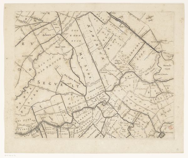
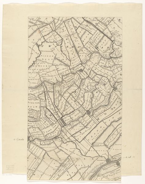
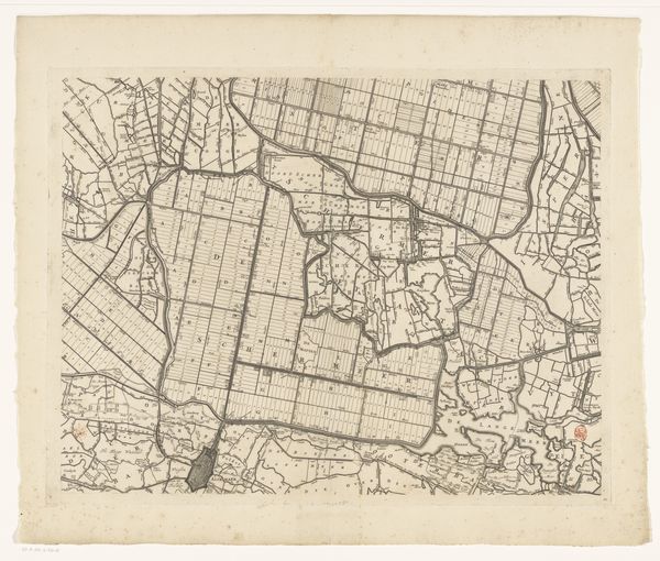
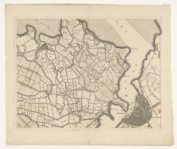
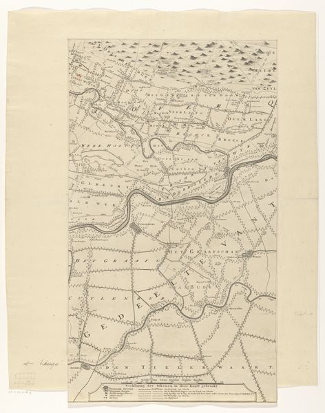
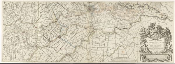
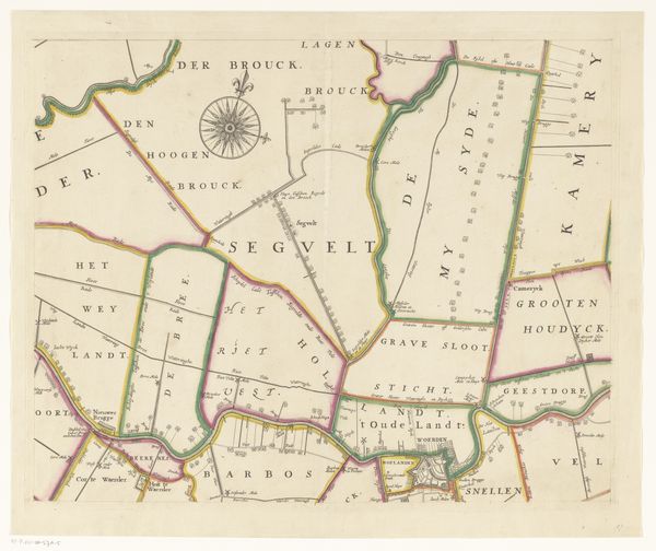
Kaart van het Hoogheemraadschap van Rijnland (elfde deel) 1647 - 1687
0:00
0:00
cornelisidanckerts
Rijksmuseum
print, etching
#
dutch-golden-age
# print
#
etching
#
landscape
#
etching
#
geometric
Dimensions: height 454 mm, width 571 mm
Copyright: Rijks Museum: Open Domain
This is an early map of Rijnland by Cornelis Danckerts, made with engraving. The composition is an intricate web of lines and forms, meticulously charting the region's waterways and land divisions. The lines create a complex interplay, dissecting the space into segments. The shapes define fields and bodies of water, conveying a sense of organized control over nature. Semiotically, each line and carefully inscribed place name functions as a sign, encoding information about property, boundaries, and resources. This map reveals how land was not just a geographical space, but a constructed territory, shaped by human intervention and inscribed with layers of meaning. Danckerts' map is not merely a representation of space, but an active participant in defining territory, visualizing power, and asserting claims. It compels us to reflect on the relationship between representation, knowledge, and control.
Comments
No comments
Be the first to comment and join the conversation on the ultimate creative platform.
More like this