print, etching, engraving
#
baroque
#
dutch-golden-age
# print
#
etching
#
cityscape
#
engraving
Dimensions: height 175 mm, width 218 mm
Copyright: Rijks Museum: Open Domain
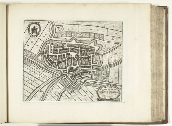
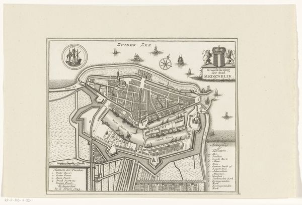
This undated print depicts a detailed map of Schoonhoven, rendered with ink on paper by an anonymous artist. The composition immediately strikes us with its geometrical precision and the intricate network of lines that define the city’s layout. The map's structure reveals Schoonhoven as a fortified city, its star-shaped walls and moats meticulously outlined, reflecting the strategic importance of urban planning during its time. Notice how the artist uses contrasting textures – the dense, cross-hatched areas indicating built structures versus the smooth, open spaces representing water. This formal approach translates spatial arrangements into visual signs, communicating much about the city's organization and defense mechanisms. Consider how the print serves not just as a geographical tool but also as a cultural artifact, embodying the era’s preoccupation with order, control, and representation. This visual language challenges our understanding of space, transforming the physical world into an abstract, symbolic construct.
Comments
No comments
Be the first to comment and join the conversation on the ultimate creative platform.
More like this