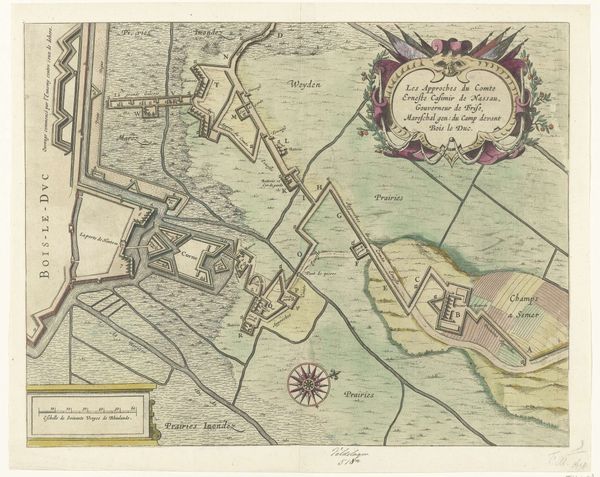
print, etching, engraving
#
dutch-golden-age
# print
#
etching
#
landscape
#
etching
#
engraving
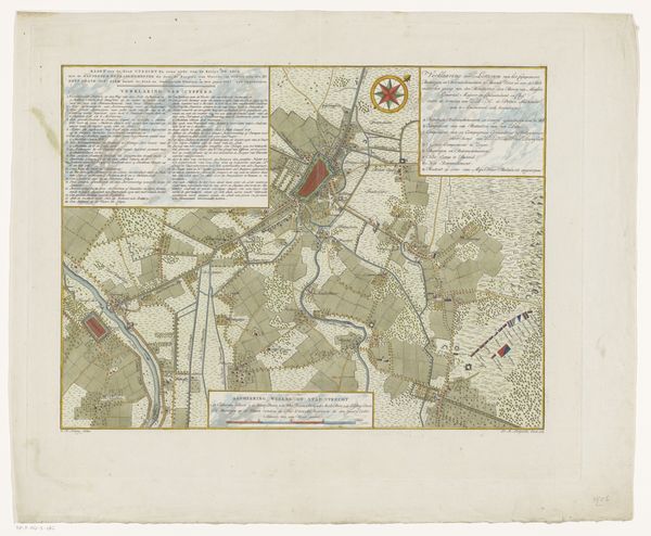
Dimensions: height 457 mm, width 558 mm
Copyright: Rijks Museum: Open Domain
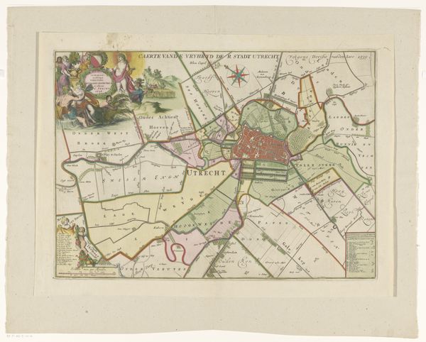
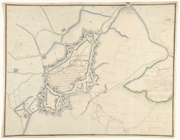
This is Coenradus Henricus Koning's 1787 map detailing the defense of Utrecht, its lines and forms telling a silent story of a city bracing for potential conflict. At the top right, the compass rose is not merely directional; it's a symbol of orientation and control, reminiscent of those used since antiquity. Consider its appearance, from navigational tools to symbolic emblems of power and exploration. It mirrors a deep human need to chart and command our surroundings. Here, the precise delineation of fortifications is striking. These aren't just lines on paper but echo walls and moats across centuries of defensive architecture. Observe the recurring motif of walls—protective yet isolating—in ancient cities and medieval castles. These patterns reveal a collective memory of fear and security, perpetually re-enacted. Each ditch, each angle speaks to the ongoing human drama of protection, reflecting an anxiety deeply embedded in our historical psyche.
Comments
No comments
Be the first to comment and join the conversation on the ultimate creative platform.
More like this