drawing, ink, pen
#
drawing
#
medieval
#
ink
#
geometric
#
pen
#
cityscape
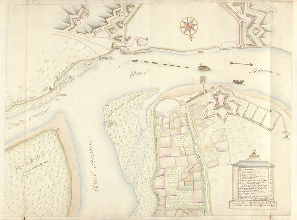
Dimensions: height 368 mm, width 465 mm
Copyright: Rijks Museum: Open Domain
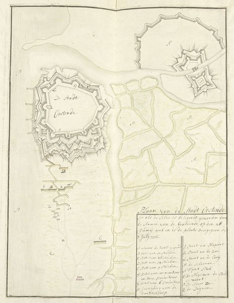
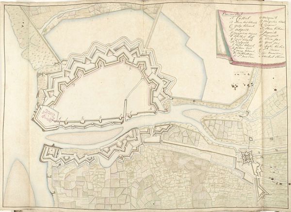
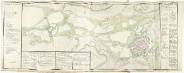
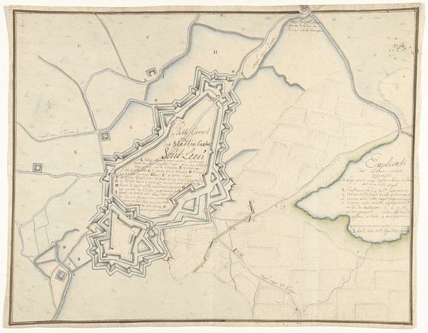
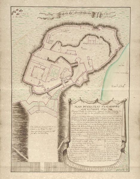
This "Plattegrond van Saint-Ghislain" was made in 1711 by A. Seys using ink and watercolor on paper. It’s easy to overlook the handmade nature of a work like this, given the precision that it conveys. But consider: this wasn’t printed, or photographically reproduced. Every line, every wash of color was laid down by hand. Cartography in this period was a highly valued skill; not quite a fine art, but certainly a crucial craft practice. It took years of training to learn how to survey land, render it in visual form, and letter all the annotations. And of course, the map isn’t just a representation of the world, but an intervention in it. Maps like this one weren’t just about knowing a place, but controlling it – in this case, as a military asset. So the artist, in wielding his specialized skill, wasn’t just making a picture, but participating in a larger political project. That’s something to keep in mind when thinking about the social life of craft.
Comments
No comments
Be the first to comment and join the conversation on the ultimate creative platform.
More like this