print, engraving
baroque
landscape
cityscape
engraving
Dimensions: height 434 mm, width 575 mm
Copyright: Rijks Museum: Open Domain
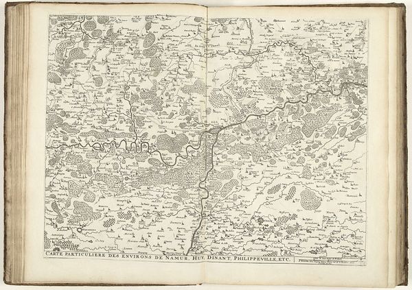
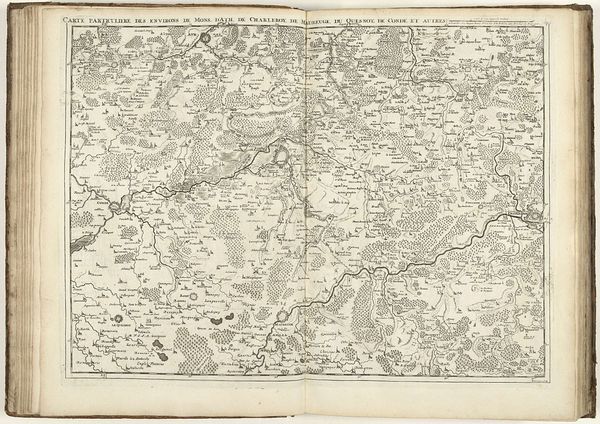
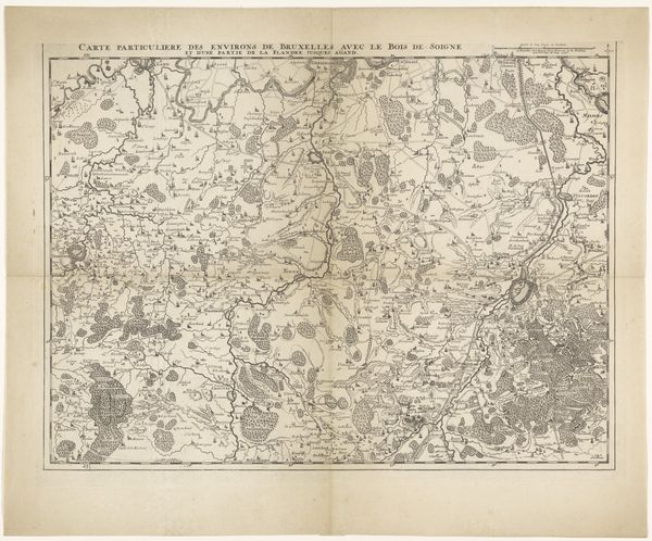
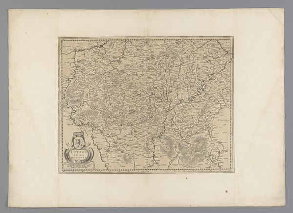
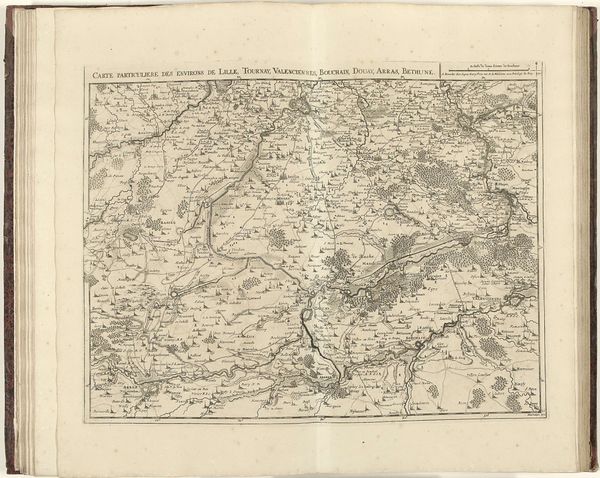
This is Jacobus Harrewijn’s “Map of Brabant,” made around the turn of the 18th century. Notice the strategic arrangement of forests and waterways. In cartography, these aren’t just geographical features; they're symbols laden with strategic importance. The depiction of forests, for instance, can be traced back to ancient Roman military maps, where woodlands were depicted to indicate potential ambush sites. This visual language evolved through medieval cosmographies into early modern statecraft. Think of the forest as both a resource and a threat, a place of refuge and danger. The strategic and symbolic power of these elements resonates across time. Rivers, similarly, are both lifelines and borders, their courses dictating trade and defining territories. Their sinuous lines echo the serpent, a symbol found in cultures worldwide, representing both chaos and wisdom. Consider how these motifs recur in different contexts, their meanings shifting with each retelling. What was once a purely strategic indication becomes imbued with cultural and psychological weight, surfacing in our collective memory. It's a reminder that images, like memories, never truly fade; they transform and reappear, shaping our understanding of the world.
Comments
No comments
Be the first to comment and join the conversation on the ultimate creative platform.