drawing, print, etching
#
drawing
# print
#
etching
#
landscape
#
etching
#
geometric
Dimensions: height 409 mm, width 516 mm
Copyright: Rijks Museum: Open Domain
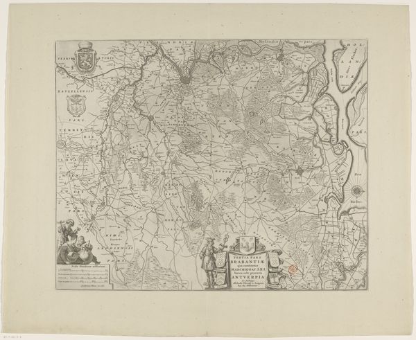
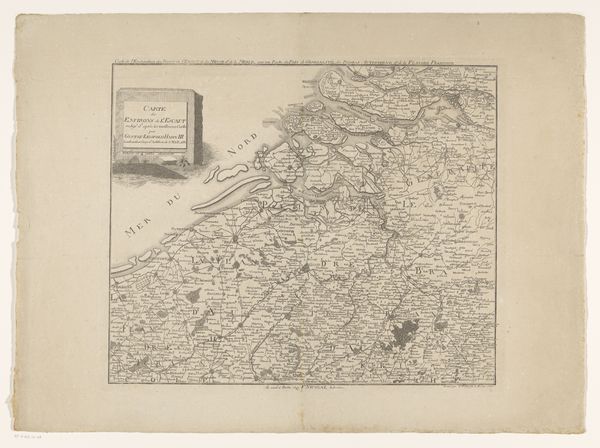
This map of the Leuven region of Brabant is an anonymous work, created by engraving lines into a metal plate. Consider the labor involved in producing such a detailed image. Each line, each place name meticulously etched by hand. The map's appearance is influenced by the precision and control demanded by the engraving process, resulting in fine lines and detailed rendering of geographical features. Engraving, a skilled tradition blending artistry and technical expertise, has histories in fine arts and practical applications like cartography. The map isn't just a representation of space; it's a product of labor, skill, and a specific mode of production. It reflects a worldview, one where accuracy and detail were valued, and where the land itself was seen as a resource to be mapped and managed. By appreciating the materials, the making, and the context, we can understand the full meaning of the image.
Comments
No comments
Be the first to comment and join the conversation on the ultimate creative platform.
More like this