print, engraving
#
rippled sketch texture
#
aged paper
#
naturalistic pattern
# print
#
old engraving style
#
landscape
#
botanical drawing
#
pen work
#
natural palette
#
layered pattern
#
engraving
#
botanical art
#
intricate and detailed
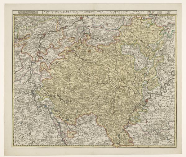
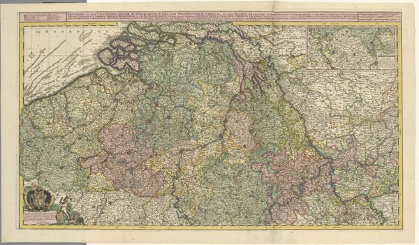
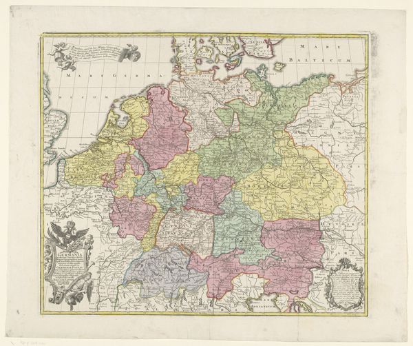
Dimensions: height 493 mm, width 598 mm
Copyright: Rijks Museum: Open Domain
This is an anonymous map of the Duchy of Luxembourg of unknown date, made with an engraving technique. The map presents a complex interplay of lines, shapes, and colors that define geographical boundaries. The composition is densely packed with place names, giving the impression of a highly detailed spatial record. Note how colors divide distinct territories, creating visual structure and hierarchy. We can read this engraving through a semiotic lens, where the lines, typography, and symbols function as signs. The very act of mapping is a process of encoding territory into a symbolic representation that carries cultural and political meanings. The formal aspects of the map – its scale, the precision of its lines, and the way it names and organizes space – all contribute to asserting control over territory. Consider the relationship between the map’s aesthetic qualities and its function as a tool for organizing and controlling space. This map reflects cultural and philosophical ideas about space, knowledge, and power. The map serves as a form of visual language that not only represents space, but also actively shapes it.
Comments
No comments
Be the first to comment and join the conversation on the ultimate creative platform.
More like this