print, etching
#
baroque
# print
#
etching
#
old engraving style
#
etching
#
history-painting
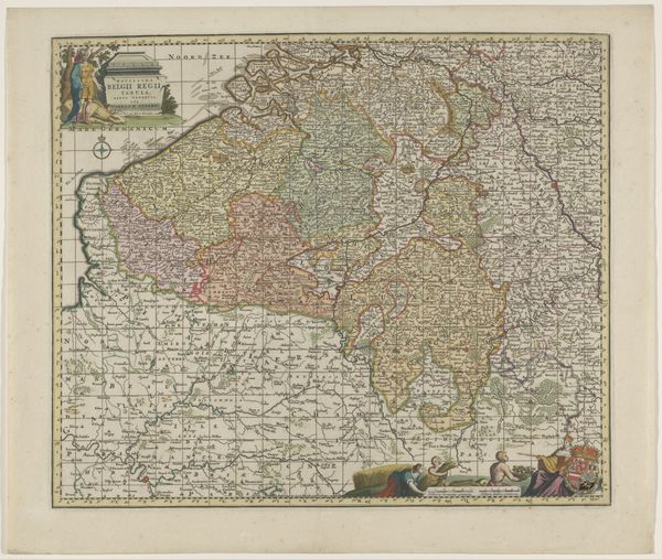
Dimensions: height 499 mm, width 599 mm
Copyright: Rijks Museum: Open Domain
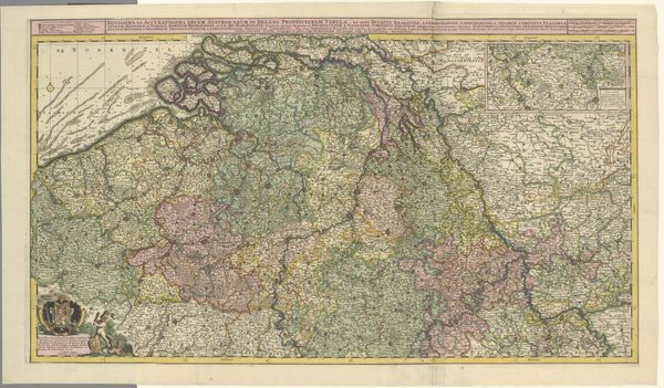
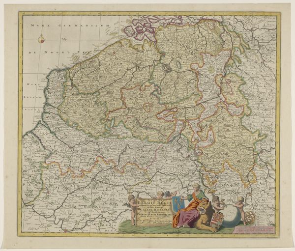
This is an anonymous map of the Southern Netherlands printed on paper and held at the Rijksmuseum. Maps were not just geographical tools; they were also instruments of power and identity. Consider the historical and cultural contexts that shaped the creation of this map. The Southern Netherlands, a region with a complex history of shifting rulers and cultural identities, is rendered here through the eyes of an unknown cartographer. The map presents a world neatly divided into territories, each delineated by borders and labeled with Latin names. But what stories do these borders conceal? What power dynamics are at play in deciding who gets to draw the lines? These old maps can offer a glimpse into how people of the time understood their place in the world, and how they asserted their claims over it. We can think about whose perspectives are included and excluded. It reminds us that maps, like any form of representation, are never neutral; they always reflect a particular point of view.
Comments
No comments
Be the first to comment and join the conversation on the ultimate creative platform.
More like this