drawing, print, paper, ink
drawing
neoclacissism
landscape
paper
ink
geometric
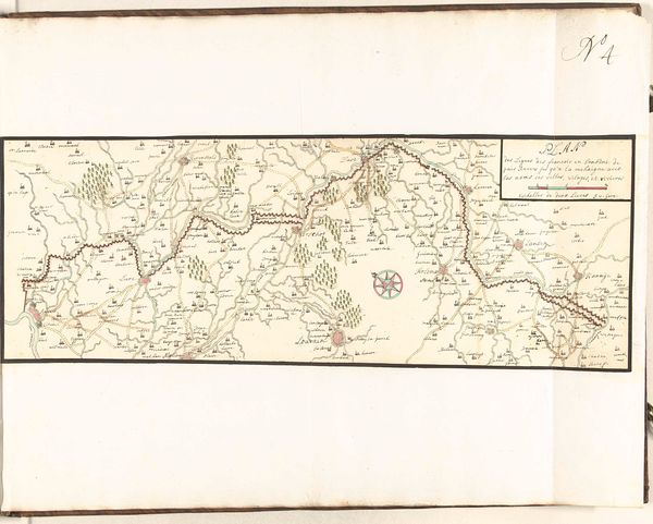
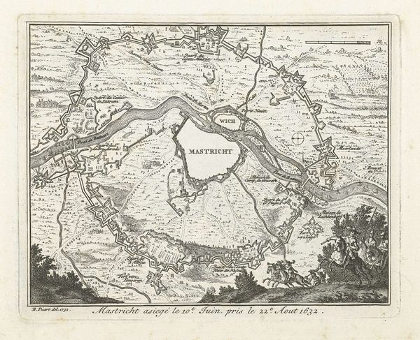
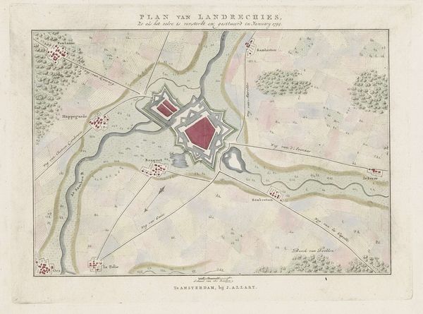
15_18th-century
cityscape
history-painting
realism
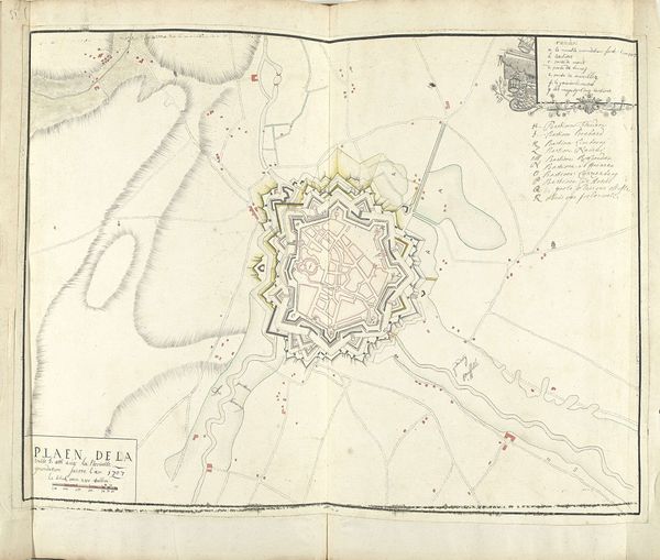
Dimensions: height 257 mm, width 350 mm
Copyright: Rijks Museum: Open Domain
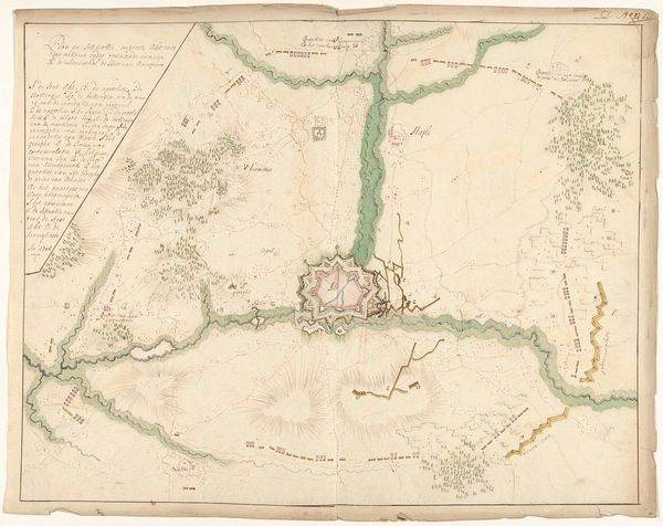
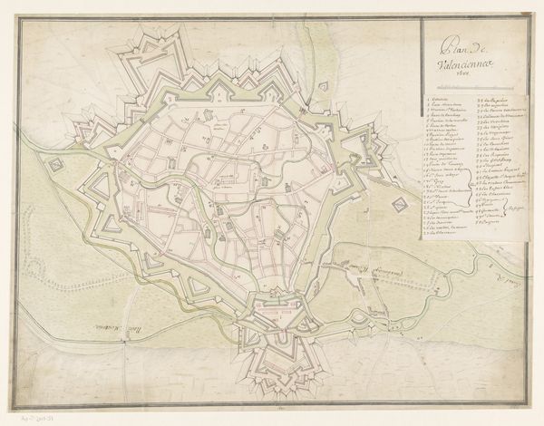
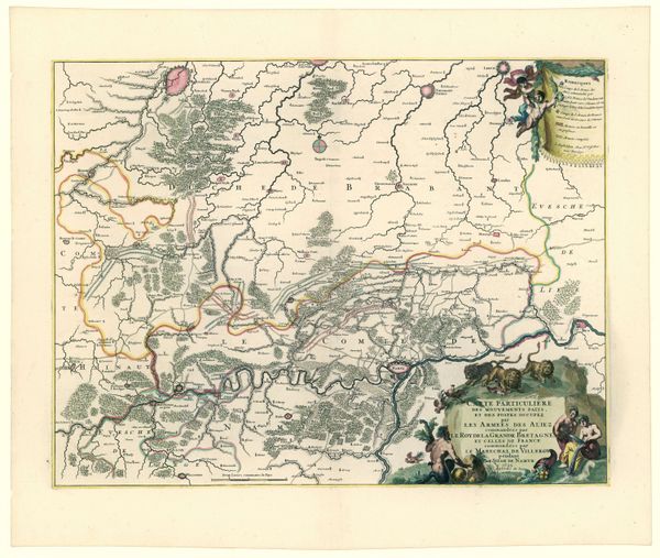
Cornelis van Baarsel made this map of the fortifications of Maubeuge in 1794. At first glance, the map is a technical drawing of the French commune, but it also reveals the power dynamics of the late 18th century. Produced in Amsterdam during the early years of the French Revolution, the map reflects the anxieties of a continent at war. The detailed rendering of fortifications suggests a society on high alert, reflecting a deep-seated fear of invasion and social upheaval. The neatness and precision of the cartography contrast sharply with the chaos unfolding in France, implying a need for order and control. Looking at this map, historians delve into military archives and political pamphlets to uncover the complex interplay of power, fear, and social control. This map is more than just lines on paper; it's a window into a world on the brink of transformation.
Comments
No comments
Be the first to comment and join the conversation on the ultimate creative platform.