print, etching
#
dutch-golden-age
# print
#
etching
#
etching
#
genre-painting
Dimensions: height 262 mm, width 352 mm
Copyright: Rijks Museum: Open Domain
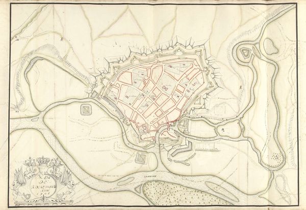
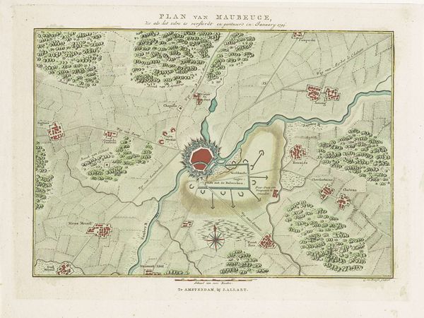
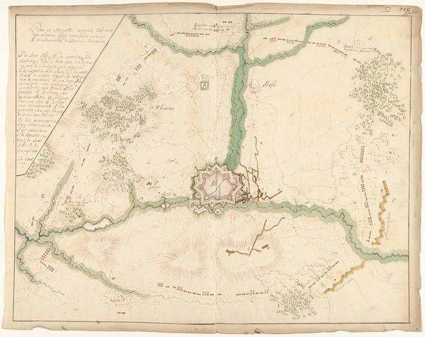
Cornelis van Baarsel created this "Plan van de versterkingen van Landrecies" in 1794. It offers us a glimpse into the world of 18th-century military strategy and urban planning. As we consider the map, we should also remember the human stories intertwined with these strategic designs. Wars were not just about lines on maps; they were deeply personal, affecting the lives of countless individuals across different social strata. The impact of military actions on civilian populations — the displacement, the loss, and the struggle for survival — often goes unacknowledged in these types of depictions. What emotions would this plan have invoked at the time, for those living in the town of Landrecies? This map reflects a very specific worldview, one centered around power, control, and defense. How might alternative narratives challenge its authority? As you look at the red fortress, what thoughts and emotions arise within you?
Comments
No comments
Be the first to comment and join the conversation on the ultimate creative platform.
More like this