print, engraving
#
neoclacissism
# print
#
landscape
#
history-painting
#
engraving
Dimensions: height 264 mm, width 368 mm
Copyright: Rijks Museum: Open Domain
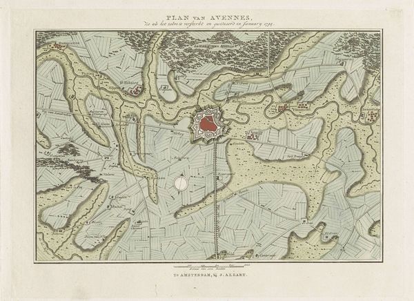
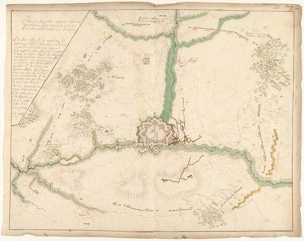
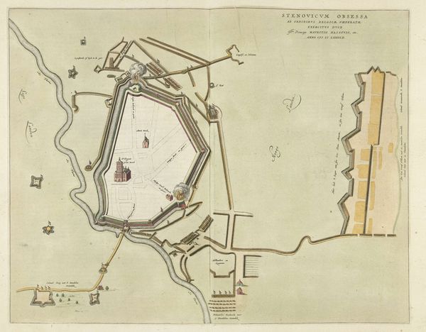
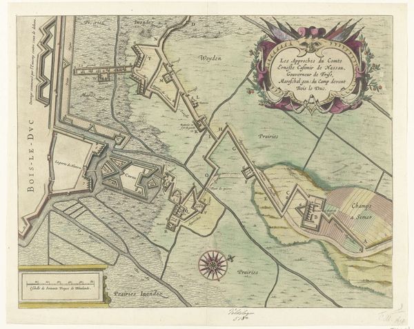
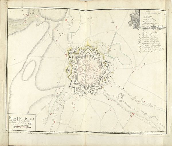
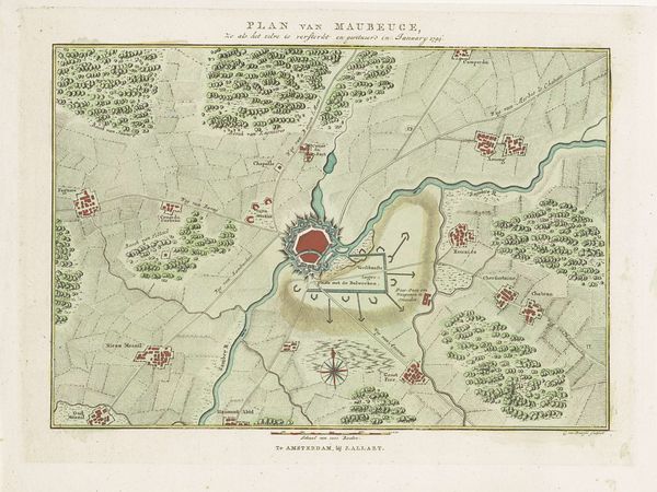
Cornelis van Baarsel created this detailed plan of the fortifications of Aire in 1794. The map offers a glimpse into the strategic importance of this region during a time of intense political upheaval. The late 18th century was a period defined by revolution and conflict, as the old order was challenged by new ideals of liberty and equality. Here, the fortifications of Aire aren't just lines on a map; they represent power, control, and the ever-present threat of invasion. In the emotional context of the time, this map was not only a tool for military planning but also a symbol of the human cost of war. Van Baarsel's decision to document these fortifications reflects a society grappling with its identity, torn between tradition and change, while on the brink of modernity. Reflecting on it, the map serves as a poignant reminder of how geographical and political landscapes are shaped by human actions. It calls us to reflect on the legacies of conflict and the enduring quest for peace and stability.
Comments
No comments
Be the first to comment and join the conversation on the ultimate creative platform.
More like this