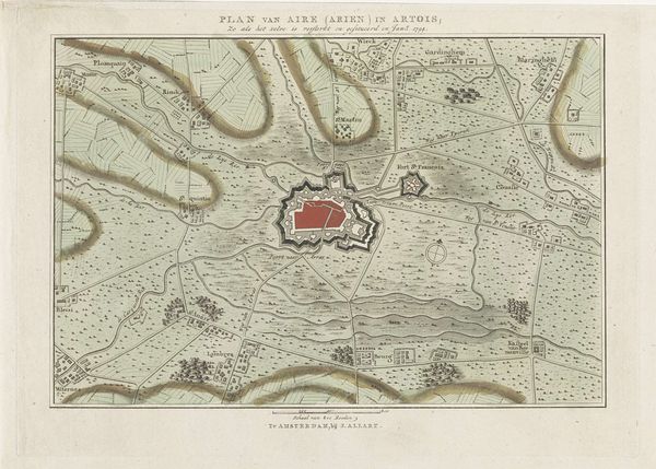
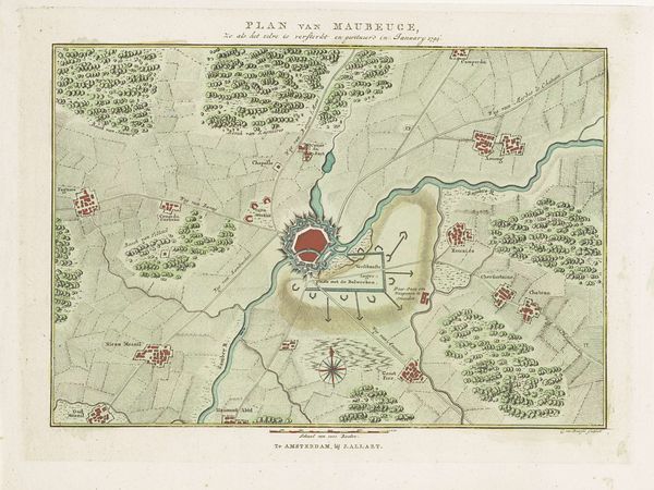
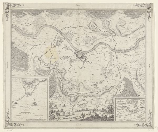
print, engraving
neoclacissism
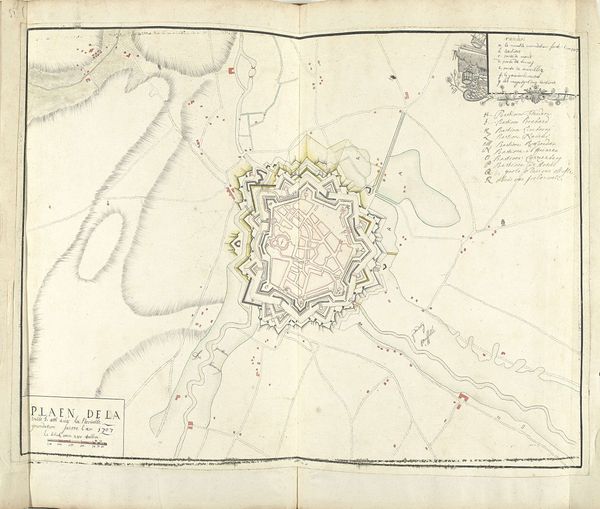
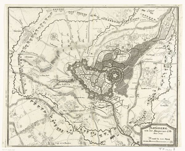
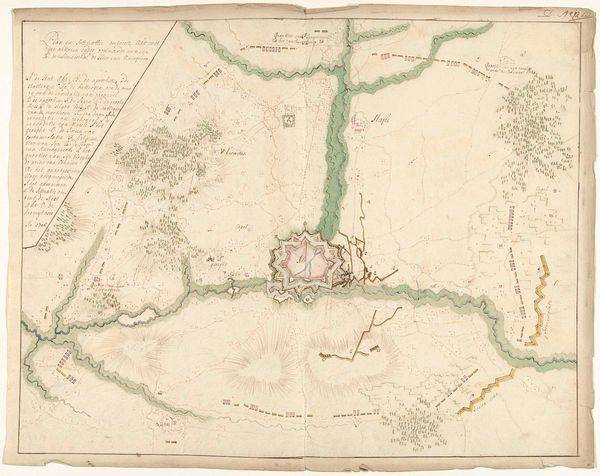
landscape
cityscape
history-painting
engraving
Dimensions: height 270 mm, width 368 mm
Copyright: Rijks Museum: Open Domain
Editor: This engraving, "Plan van de versterkingen van Avennes, 1794" by Cornelis van Baarsel, shows what looks like a detailed aerial view of a fortified town. The pastel shades create a serene, almost picturesque scene, which is unexpected for what is essentially a military map. What’s the story behind depicting military engineering in this way? Curator: The sereneness you describe is crucial to understanding how prints like these functioned. While this is indeed a functional military document, it also operates within a broader political landscape. Notice the Neoclassical elements – the balanced composition, the orderly presentation. These suggest an enlightened approach to warfare, an attempt to rationalize and even aestheticize conflict during the tumultuous period of the French Revolution. Editor: So, the print is trying to present a specific image, rather than just practical information? Curator: Exactly. Think about who was likely viewing these images. Not just generals, but also wealthy landowners, merchants, and political elites. These maps became a way of visualizing power, control, and technological prowess. The act of commissioning, distributing, and even collecting such prints was, in itself, a statement of political alignment. Does seeing it this way change your understanding of the artwork? Editor: Absolutely. I had only focused on the literal image and didn't consider the context in which it was created and used. I now see that a print like this one shows how knowledge and aesthetics were wielded as tools to project authority during times of conflict. Curator: It's precisely at that intersection of social and aesthetic histories that we unlock new understanding. I find that it speaks volumes to the evolving relationship between power, art, and war in the late 18th century.
Comments
No comments
Be the first to comment and join the conversation on the ultimate creative platform.