print, paper
#
light colour palette
#
paper non-digital material
#
reduced colour palette
#
muted colour palette
# print
#
asian-art
#
landscape
#
paper
#
soft colour palette
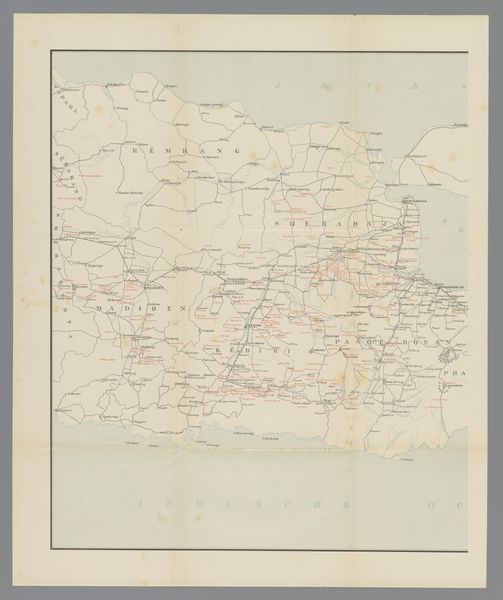
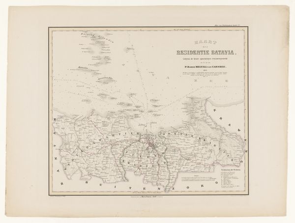
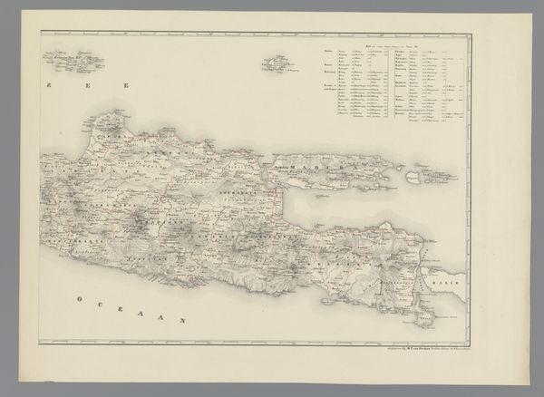
Dimensions: height 591 mm, width 492 mm
Copyright: Rijks Museum: Open Domain
Editor: Here we have "Kaart van Oost-Java, rechterdeel," or "Map of East Java, right part," created between 1889 and 1891. It's an old print on paper from an anonymous artist at the Rijksmuseum. I’m struck by how delicate the colors are; it’s almost like a faded memory. What do you see in this piece? Curator: The immediate image that springs to mind for me is that of faded colonial ambition and projection. Maps are inherently about power, about claiming space and identity. This map, with its light, almost hesitant lines, evokes the passage of time and the layers of cultural memory embedded in the land. Look at how place names are rendered; how do you think those names connect with or disconnect from the indigenous cultures that inhabited this region? Editor: That’s fascinating. The red lettering seems like it could be important—maybe marking areas of conflict? It does feel like there's a tension between the cartographer's perspective and the reality of the place. Curator: Precisely. Red is often associated with power or, as you say, conflict. What kind of weight might this colour have brought to the map in the eyes of a colonizing force and, conversely, to the indigenous people? Maps create narratives – how would you describe the narrative told here in comparison to other images associated with Asian art? Editor: This really makes me think about how something as seemingly objective as a map can be so loaded with cultural meaning. Thanks for sharing your insights. Curator: My pleasure. These layers of meaning embedded in seemingly simple images are always rewarding to explore.
Comments
No comments
Be the first to comment and join the conversation on the ultimate creative platform.
More like this