drawing, print, engraving
#
drawing
# print
#
old engraving style
#
landscape
#
geometric
#
line
#
cityscape
#
history-painting
#
engraving
Dimensions: height 167 mm, width 210 mm
Copyright: Rijks Museum: Open Domain
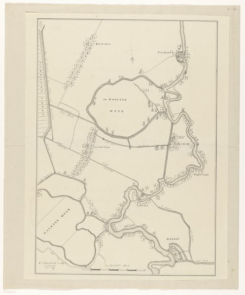
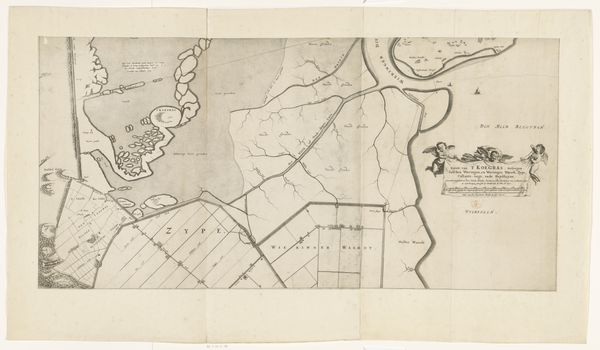
Curator: This fascinating image, titled "Beleg van Grol door Frederik Hendrik, 1627," which translates to "The Siege of Grol by Frederik Hendrik, 1627," is a drawing or print that historians place between 1800 and 1849. It is made from engravings using fine lines to depict the details. Editor: Wow, my first thought is how much this reminds me of a board game or a complex strategy map, like something from Risk, with all the miniature fortifications and troop placements. It's a stark reminder that history was quite literally a game of territory, but a deadly one, of course. Curator: Absolutely. This piece visualizes a pivotal moment in the Eighty Years' War, offering insight into the strategic military planning and engineering prevalent in 17th-century Europe. Consider how the geometric designs of the fortresses aren't merely aesthetic but integral to defense. We must acknowledge these landscapes and cityscapes reflect social and political power dynamics, revealing who has the agency to construct, control, and occupy space. Editor: Yes, there’s an undeniable coldness to the precise rendering of what must have been a chaotic and intensely emotional event. But seeing it like this, meticulously mapped out, almost neutralizes the horror. You know, like separating the artist from the art. I wonder, what stories did these meticulously placed structures conceal? I think in some ways these clean lines act as a screen, obfuscating lived experiences and creating an unreality about it. Curator: That’s a compelling perspective. We could even see the clean, crisp lines and precise layout not just as obfuscation, but also as an early form of propaganda, idealizing a military campaign and solidifying Prince Frederik Hendrik’s reputation. It is history retold in controlled visual language. Editor: Yes, totally. Like they've stripped it of everything except what they think history is meant to remember. What strikes me is how it turns suffering into something almost abstract. A game of shapes. Curator: It really gives one pause. And brings up many considerations regarding the interplay between representation, power, and the selective narrative construction in historical documents. Editor: Yeah, you’re totally right. I leave it with an unsettling vibe – as if something human has been completely abstracted away in the interests of a perfect plan.
Comments
No comments
Be the first to comment and join the conversation on the ultimate creative platform.
More like this