Kaart van de westkust van Vlaanderen tussen Oostende en Nieuwpoort, 1600 1832 - 1856
0:00
0:00
graphic-art, print, engraving
#
graphic-art
# print
#
old engraving style
#
landscape
#
historical photography
#
folk-art
#
engraving
Dimensions: height 243 mm, width 350 mm
Copyright: Rijks Museum: Open Domain
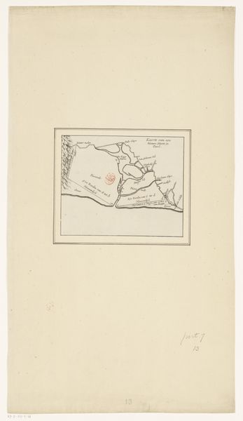
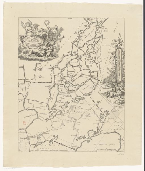
This anonymous map, circa 1600, details the West Coast of Flanders, charting the landscape between Oostende and Nieuwpoort. The most dominant visual symbols in the map are the lines representing roads and waterways, the key arteries of commerce and conflict in their time. Think of the river as a serpent, an archetypal image present in cultures worldwide, from the Egyptian Apophis to the Nordic Jörmungandr. Here, these waterways are not just geographical features, but also symbolic paths of destiny, shaping the course of battles and the flow of history. As seen in antiquity, the serpent embodies chaos and renewal. Similarly, the roads, etched with precision, echo the Roman "Via", once lifelines of empire, facilitating military movement and cultural exchange. This map evokes a deep, subconscious response, a collective memory of human struggle and territorial ambition, constantly re-enacted across time. It represents a non-linear progression, where each road and river becomes a recurring motif in the grand tapestry of human history.
Comments
No comments
Be the first to comment and join the conversation on the ultimate creative platform.
More like this