drawing, ink, engraving
#
drawing
#
baroque
#
pen drawing
#
ink
#
geometric
#
cityscape
#
engraving
Dimensions: height 389 mm, width 502 mm
Copyright: Rijks Museum: Open Domain
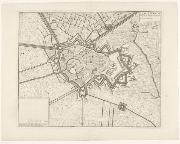
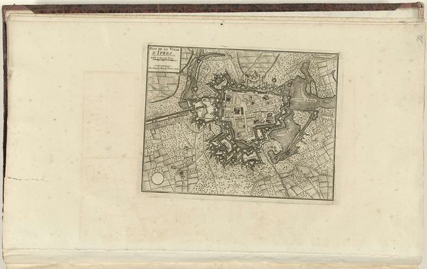
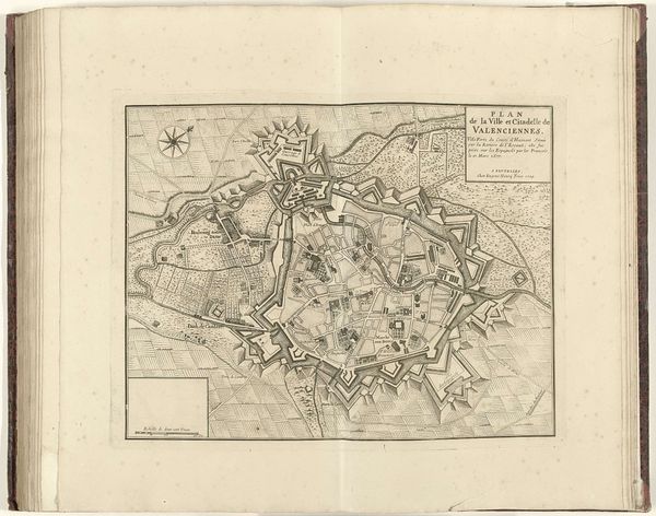
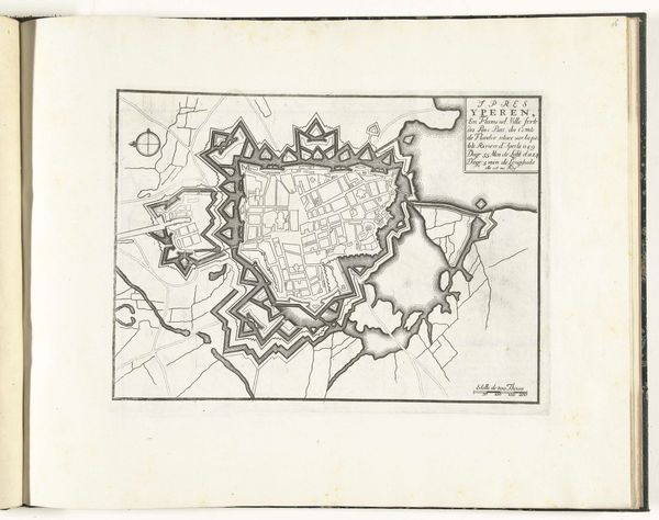
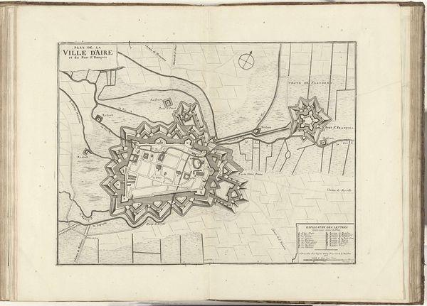
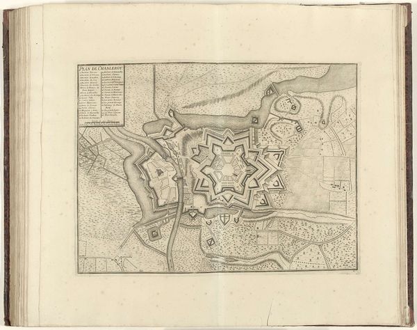
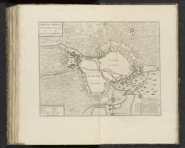
Jacobus Harrewijn’s "Plattegrond van Cambrai," created in 1710, presents an aerial view of the fortified city. The star-shaped citadel stands as a central motif, a pattern deeply embedded in the European psyche. This design, reminiscent of a radiant sun, isn't merely aesthetic; it's a symbol of power and defense. The star fort, with its projecting points, allowed for optimal crossfire, deterring invaders. Yet, its form echoes ancient solar symbols found across cultures, from Egyptian sun disks to Renaissance emblems of enlightenment. Consider the "rota fortunae," the wheel of fortune, often depicted with radiating spokes. Similarly, the star fort embodies a sense of control over destiny, a defense against the chaotic forces of war. This deep-seated need for order and security manifests visually, engaging our primal instincts. The symbol transcends mere military strategy; it represents a deep-seated human desire to impose order on chaos, to protect and illuminate. Its cyclical recurrence in art and architecture reveals an enduring psychological resonance.
Comments
No comments
Be the first to comment and join the conversation on the ultimate creative platform.
More like this