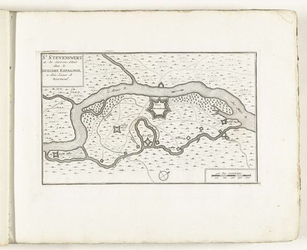
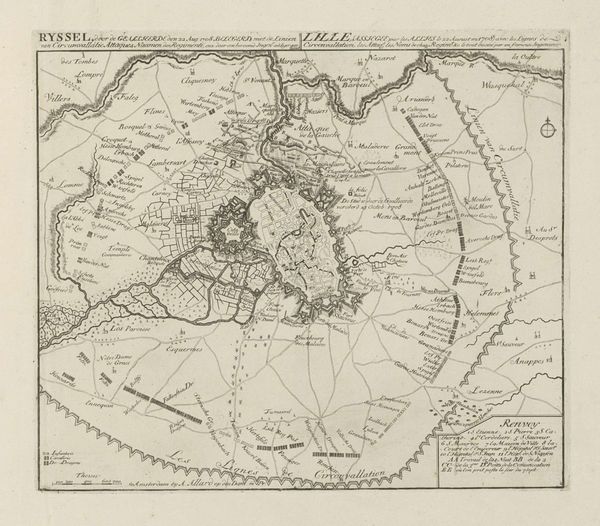
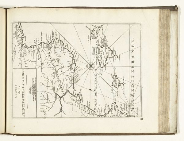
print, etching, paper, engraving
#
aged paper
#
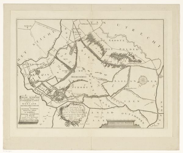
dutch-golden-age
# print
#
etching
#
old engraving style
#
landscape
#
etching
#
paper
#
geometric
#
history-painting
#
engraving
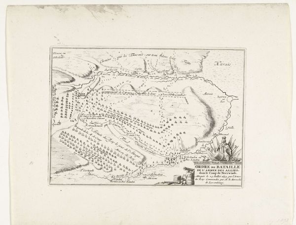
Dimensions: height 376 mm, width 397 mm
Copyright: Rijks Museum: Open Domain
This is an anonymous historical map of the Netherlands, detailing the Corbulo canal. Created without a known author, the map acts as a lens through which to examine the cultural and historical construction of space and identity. The map depicts not just geographical features, but also tribal territories, revealing the complex interactions between people and the land. In this representation, the land is not just a physical space, but a cultural and political territory, imbued with the histories and identities of different groups. The map tells a story of power, influence, and control, where the act of naming and mapping becomes an assertion of dominance. Consider how the map's depiction of the Netherlands shapes our understanding of the region's history and the identities of its inhabitants. How might this map have influenced perceptions of Dutch identity and territorial claims? It embodies a narrative about the land and the people, a narrative that continues to resonate today.
Comments
No comments
Be the first to comment and join the conversation on the ultimate creative platform.
More like this