print, etching
#
architectural sketch
#
aged paper
#
toned paper
#
dutch-golden-age
# print
#
etching
#
old engraving style
#
landscape
#
etching
#
personal sketchbook
#
sketchwork
#
sketchbook drawing
#
storyboard and sketchbook work
#
initial sketch
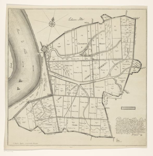
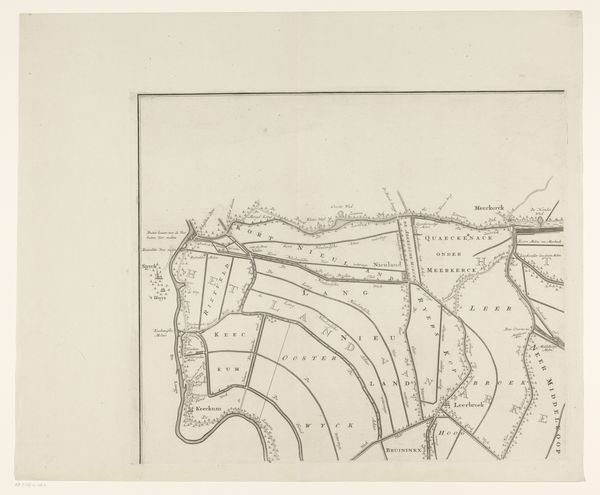
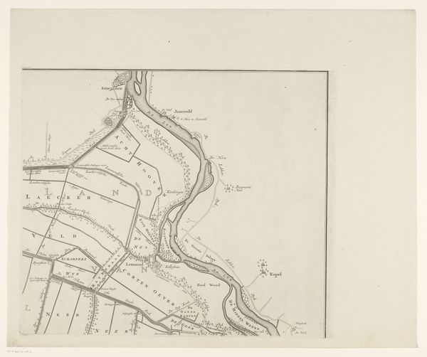
Dimensions: height 868 mm, width 1012 mm
Copyright: Rijks Museum: Open Domain
This is Jan van Jagen's "Kaart van de Vijfheerenlanden, bestaande uit twee delen", created in the 18th century. The map's organization in two distinct parts immediately grabs attention; it compels us to consider the relationship between these halves and how they constitute a unified representation. The cool, muted tones and precise lines establish a calm, measured view of the region. Notice how the arrangement of fields, waterways, and settlements is rendered through a network of lines, giving the landscape a structured, almost geometric quality. The composition invites us to consider the underlying systems of organization and control inherent in mapping. The cartographic representation isn't just about geographical accuracy, it also reflects a particular way of seeing and ordering the world. The map invites a semiotic reading, with each line, symbol, and label functioning as a sign that points to broader cultural and historical meanings. This formal structure reveals the intellectual frameworks through which space, property, and power were understood in the 18th century.
Comments
No comments
Be the first to comment and join the conversation on the ultimate creative platform.
More like this