print, etching, engraving
#
dutch-golden-age
# print
#
etching
#
hand drawn type
#
landscape
#
etching
#
engraving
Dimensions: height 316 mm, width 371 mm
Copyright: Rijks Museum: Open Domain
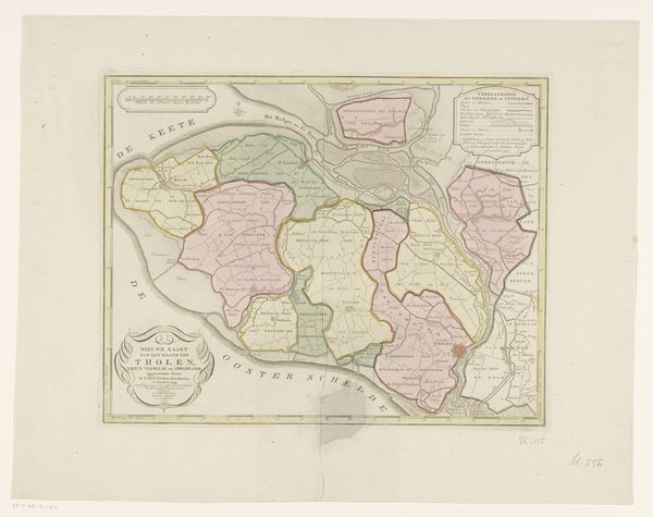
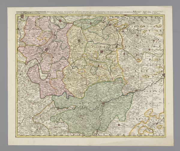
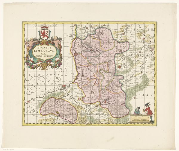
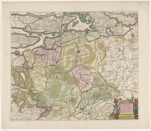
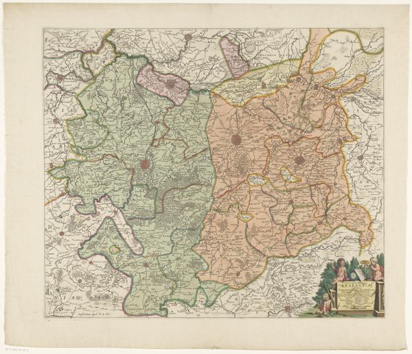
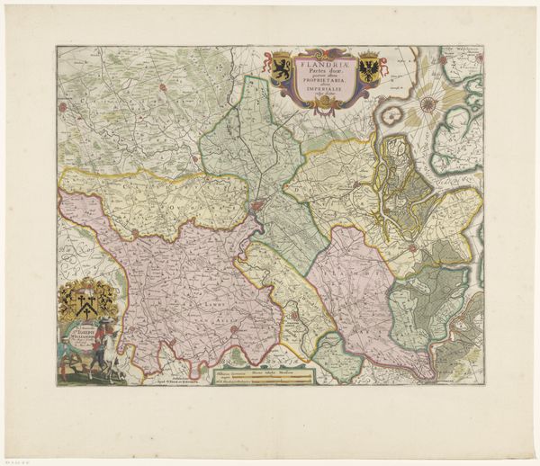
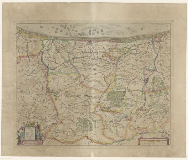
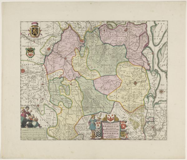
Editor: Here we have "Kaart van Drenthe," a map of the Drenthe region from 1795, created by Jan van Jagen. It's an etching and engraving, so it feels very detailed and precise. It strikes me how much labor went into creating this image, letter by letter. What stands out to you when you look at it? Curator: For me, this map is fascinating as a record of both geographical and social space. Consider the paper itself – its sourcing, production, and cost in 1795. Maps like these weren't merely about accurate representation; they were instruments of power, used to claim territory and control resources. Who commissioned it? What were their interests in Drenthe? Was it for administrative purposes, military strategy, or land speculation? The subtle shading and the meticulous rendering of the landscape speaks of intensive labour of etching the image to printing multiple copies. It certainly isn’t neutral. Editor: So, it's not just about accurately showing the land, but about how the land is being used, controlled, or maybe even exploited? Curator: Exactly! The map becomes evidence of economic and social structures. Look at how forests or waterways are depicted - what activities took place there? Are they carefully marked due to their value to milling and shipping industries, or some other economic practice of the region? What stories can be found by considering who held the knowledge and the means to create and disseminate such images, versus the common population within the Drenthe region shown? Editor: I never really thought about a map in terms of the labour and the social elements that produced it. Thank you for shedding light on the map-making process, and making me consider its relation to a wider context of labour and material resources. Curator: It is precisely the combination of craftmanship and authority that transforms an image from mere aesthetics to political document.
Comments
No comments
Be the first to comment and join the conversation on the ultimate creative platform.
