print, etching, engraving
#
dutch-golden-age
# print
#
etching
#
landscape
#
geometric
#
cityscape
#
engraving
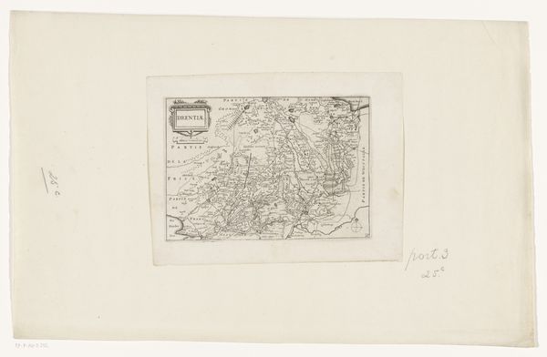
Dimensions: height 160 mm, width 225 mm
Copyright: Rijks Museum: Open Domain
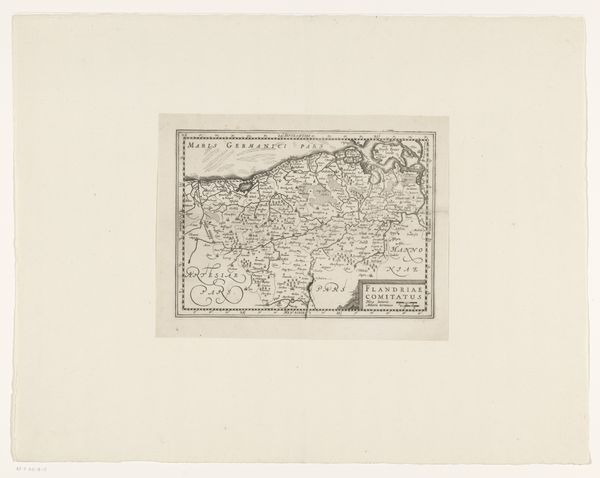
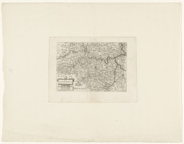
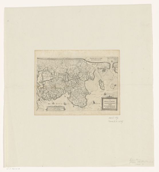
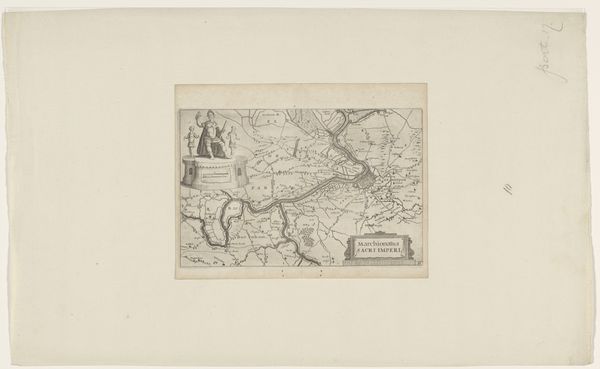
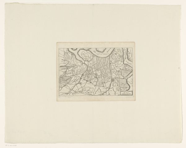
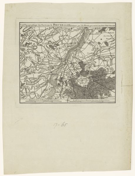
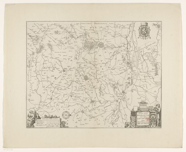
This is an anonymous map of the province of Utrecht. In this detailed cartographic representation, we encounter not just a geographical survey but a symbolic landscape imbued with historical and cultural meaning. Note how the cartouche, or decorative title, includes a figure of a person holding an instrument. These are the kind of images that transcend time. Maps, like religious icons, tell us of humankind’s desire to impose order and meaning onto an often chaotic world. The symbolic act of mapping is as old as civilization itself. Consider the act of creating a border, a recurring motif in art and history, from ancient boundary stones to modern political maps. Here, the depiction of cities, roads, and waterways is laden with cultural memory, each line and symbol evoking a complex web of associations and subconscious understandings. The psychological and emotional power of these images lies in their ability to resonate deeply with viewers, tapping into a shared understanding that transcends time and place. They create new meanings as society continues to evolve.
Comments
No comments
Be the first to comment and join the conversation on the ultimate creative platform.
More like this