print, paper, engraving
#
dutch-golden-age
#
ink paper printed
# print
#
paper
#
geometric
#
engraving
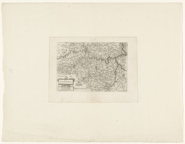
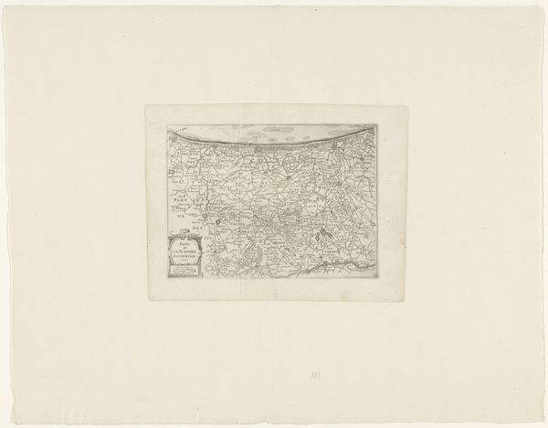
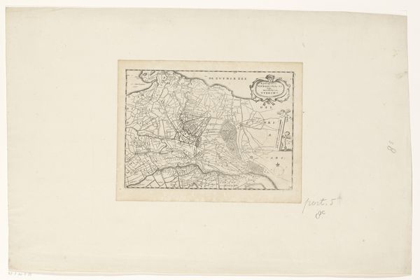
Dimensions: height 161 mm, width 217 mm
Copyright: Rijks Museum: Open Domain
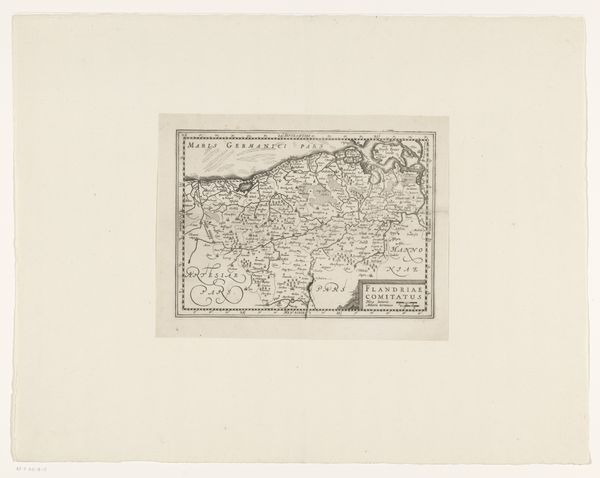
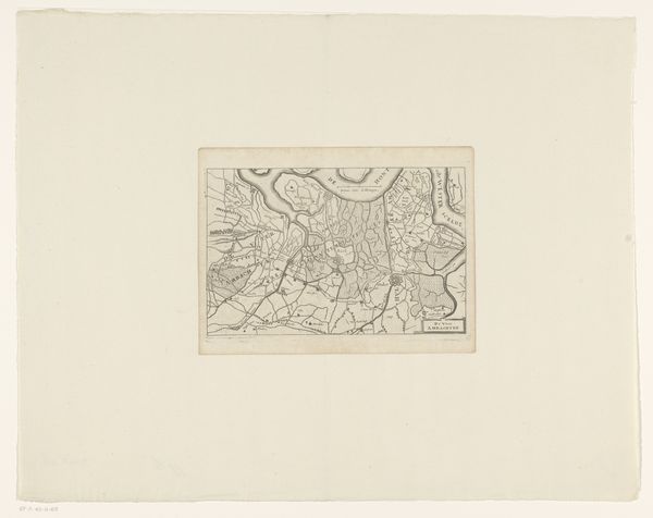
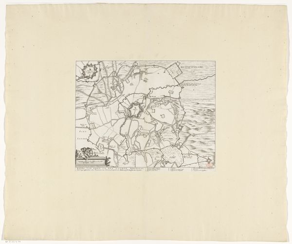
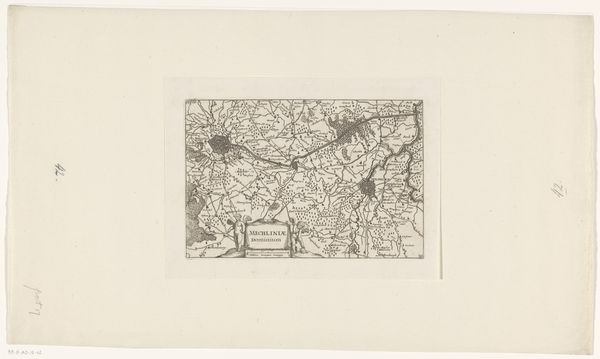
Curator: Let's delve into this fascinating map, "Kaart van de Meierij van 's-Hertogenbosch," dating from approximately 1635 to 1696, currently housed in the Rijksmuseum. It’s rendered as a print, employing both ink and engraving on paper. Editor: It's surprisingly evocative, isn't it? The density of information, all those place names etched into the surface, gives me a kind of delicious, claustrophobic feeling. Like holding the weight of history in my hand, even though it’s just a paper rectangle. Curator: Indeed. The map's material existence – the paper, the ink, the printing press – speaks volumes about the period. It was likely produced not as high art, but as a functional tool, yet here we are, centuries later, considering its aesthetic value. Think about the engraver, a skilled artisan replicating the cartographer's knowledge onto copper, then transferring that image to paper. It’s a laborious process that democratized access to geographic knowledge, for a price, of course. Editor: That repetition, that reproductive act… there's something intensely human about it, about the fallibility and skill required to capture a landscape. It makes me think about borders, not just in a geographic sense, but also the blurred line between craft and art, knowledge and propaganda. The crispness of the lines suggests a certain…authority, shall we say? And who benefitted from such assertions? Curator: Absolutely. Its precise execution underscores a desire to delineate control, ownership. This isn’t just about representing space; it’s about power, claiming territory through the very act of mapping. The paper itself, sourced through specific trade routes, the ink concocted from particular ingredients... Each element has its own story of production, circulation, and consumption deeply interwoven with the political landscape of the Dutch Golden Age. Editor: So, in essence, this isn’t just a "Kaart"; it’s a document steeped in the political economy of its time, disguised as geography. A testament to the interplay between material resources, human labor, and the projection of dominance. Looking closer now, I feel the pulse of capital and aspiration captured in each deliberate mark. Curator: Exactly. The map becomes a complex palimpsest, layers of intention and materiality revealing the intricate connections between artistry, craft, and social structures. I find I’m equally interested in the blank space around the edges…the stuff not drawn, you know? Editor: An excellent point; this journey through its materiality truly brings those unmentioned factors to light, almost creating another invisible map beyond the print.
Comments
No comments
Be the first to comment and join the conversation on the ultimate creative platform.
More like this