painting, print, watercolor
#
dutch-golden-age
#
painting
# print
#
watercolor
#
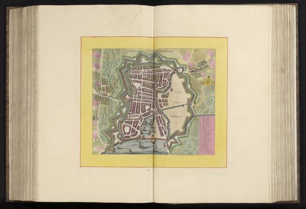
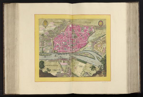
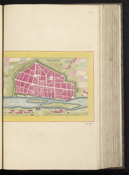
geometric
#
cityscape
Dimensions: height 231 mm, width 306 mm, height 532 mm, width 318 mm
Copyright: Rijks Museum: Open Domain
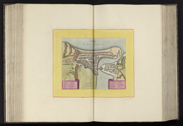
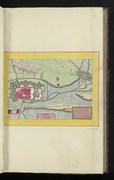
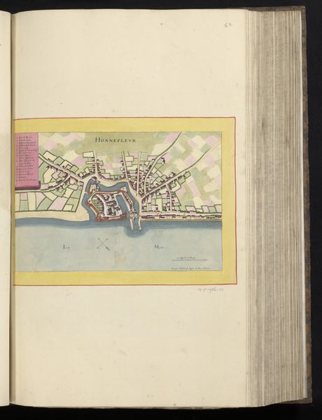
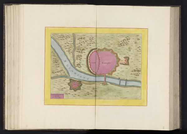
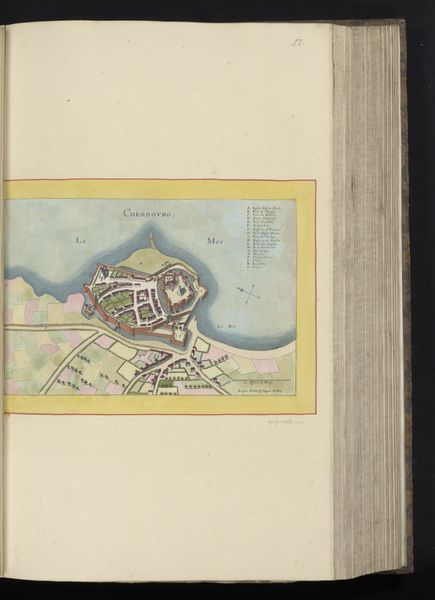
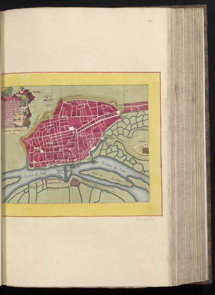
This is an undated map of Le Havre, rendered by an anonymous cartographer. Maps, like this one, are rarely neutral; they are products of their time, reflecting the interests and ideologies of those who create them. This map reveals much about power, control, and the gaze of the colonizer. Here, the detailed depiction of military fortifications speaks to the strategic importance of Le Havre as a port city. Who lived within those walls? Who was excluded? The map provides no answers, rendering the lives and experiences of the inhabitants invisible. The act of mapping itself is an exercise in dominance, charting and claiming territory, reducing complex social realities to simplified representations. It invites us to reflect on the power dynamics inherent in representation and the stories that maps both tell and conceal. As you consider this bird's eye view, think about what stories and histories lie beneath the surface.
Comments
No comments
Be the first to comment and join the conversation on the ultimate creative platform.
More like this