painting, watercolor
#
baroque
#
painting
#
landscape
#
watercolor
#
coloured pencil
#
geometric
#
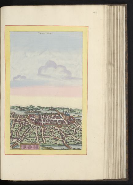
cityscape
#
history-painting
#
watercolor
Dimensions: height 186 mm, width 289 mm, height 532 mm, width 320 mm
Copyright: Rijks Museum: Open Domain
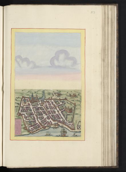
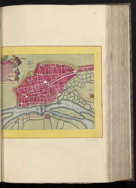
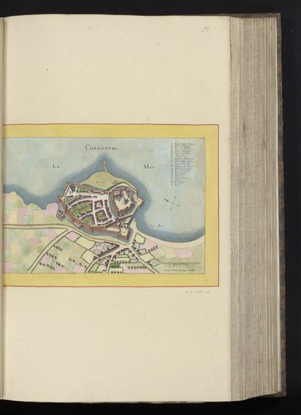
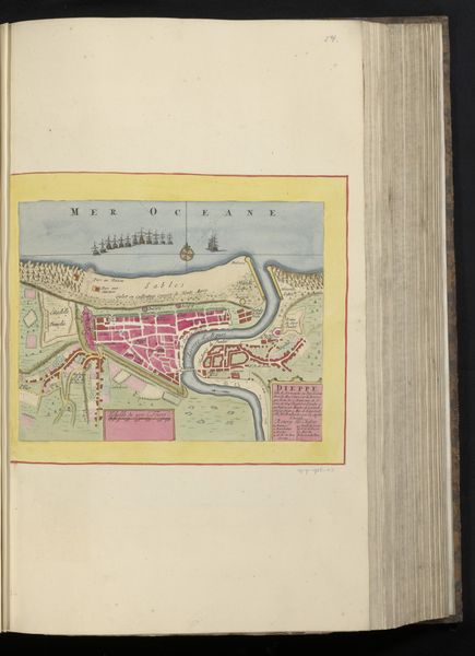
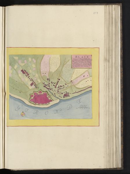
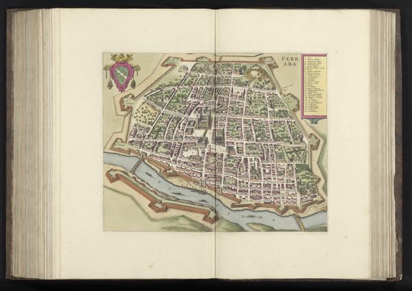
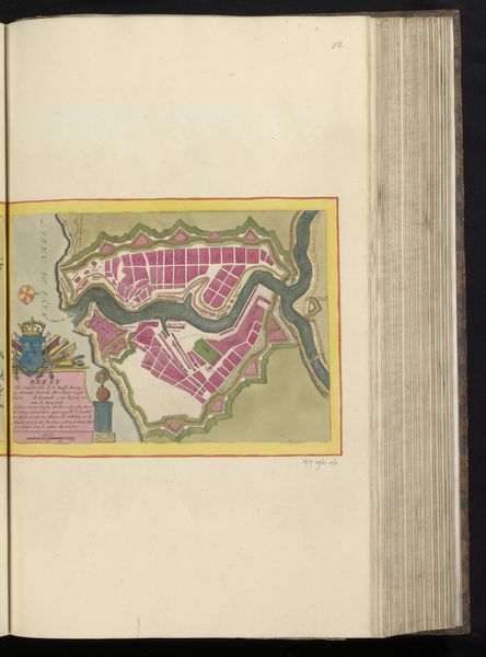
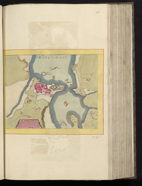
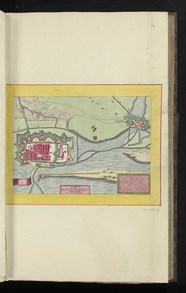
This "Plattegrond van Orléans" at the Rijksmuseum, was crafted by an anonymous hand using ink and watercolor. The map's aesthetic is deeply entwined with its making. The ink lines, likely drawn with a quill, create sharp outlines, defining the city's layout and architectural details. The application of watercolor washes brings the city to life with subtle hues and tonal variations, differentiating between land, water, and built structures. This layering of medium imbues the map with depth and dimensionality. Maps weren't just functional; they were statements of power and knowledge, commissioned by rulers, merchants, and military leaders. The very act of mapping was an assertion of control. It's easy to overlook the amount of work involved in the surveying, drawing, and coloring. By appreciating the materials and processes behind this "Plattegrond van Orléans," we gain a deeper understanding of its historical, social, and cultural significance.
Comments
No comments
Be the first to comment and join the conversation on the ultimate creative platform.
More like this