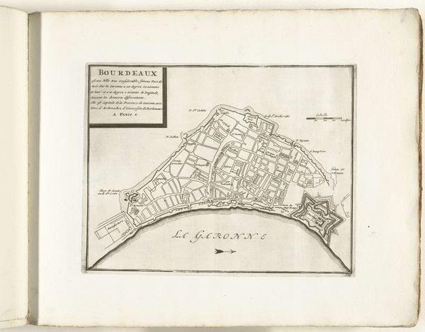
drawing, print, paper, watercolor
#
drawing
# print
#
paper
#
watercolor
#
coloured pencil
#
cityscape
Dimensions: height 216 mm, width 278 mm, height 532 mm, width 320 mm
Copyright: Rijks Museum: Open Domain
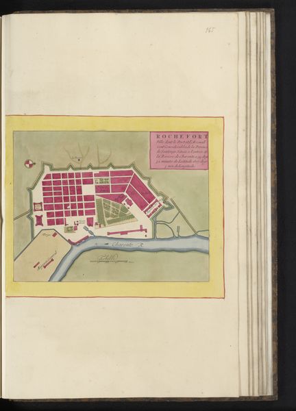
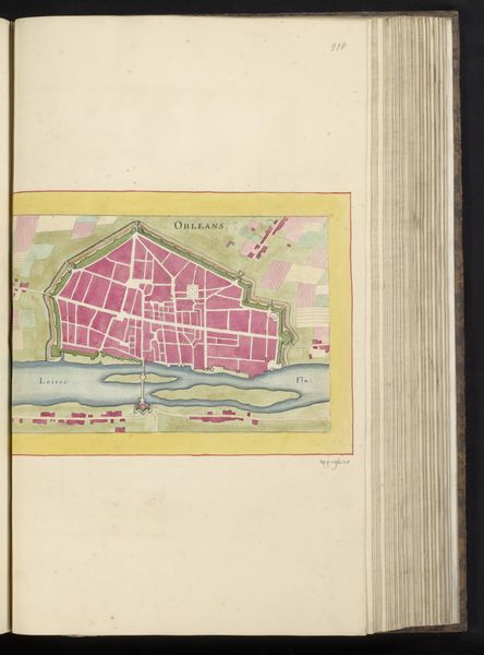
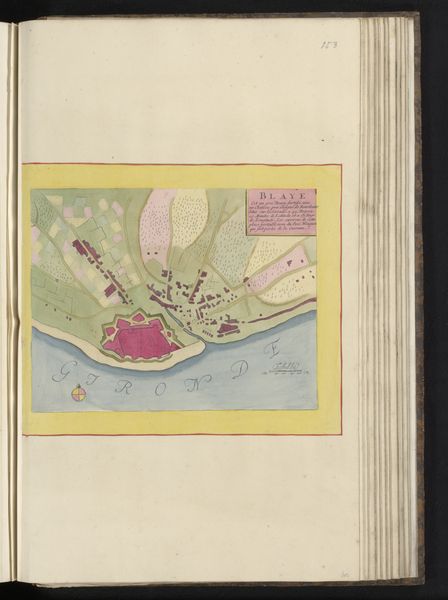
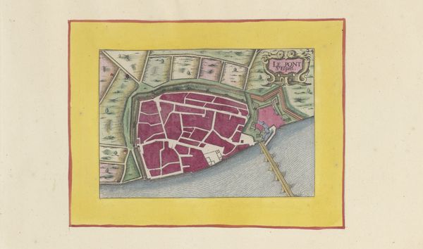
Curator: Here we have "Plattegrond van Bordeaux," a detailed city plan created anonymously around 1690 to 1700. It's a print with watercolor and colored pencil on paper, residing in the Rijksmuseum's collection. Editor: It has an immediately striking visual simplicity, with those pale blues and reds. There is an airy quality with very distinct lines, the representation feels somehow both precise and idyllic at once. Curator: City plans such as this one weren't just about wayfinding; they played a significant role in expressing a city's identity and its strategic importance. Notice the clearly demarcated fortifications along the Garonne river. This symbolizes power and control. These cartographic works served a very important public and socio-political role during this period. Editor: I see the representation of power but wonder about what it might obscure. Who are the plans for, and whose narratives get sidelined in prioritizing fortifications? How do the economic and racial inequalities that have always shaped urban landscapes become conveniently invisible within such pristine representations of urban space? Curator: Well, these maps certainly highlight the urban planning and infrastructure prioritized by those in authority. In effect, "Plattegrond van Bordeaux" serves as a record of civic development and evolving military strategies within its timeframe. The formal qualities suggest civic pride in Bordeaux's modernization, too. Editor: Right, the fortifications suggest this was as much about military prowess as a public service. This almost propagandistic presentation could also reflect and influence the relationship between city residents and state authority. I find that interesting from a modern perspective, too. In urbanism discussions today, similar themes of who is being served by civic development play out. Curator: Indeed. And its artistic merits should also be observed—the neat drafting, the measured application of color, indicating the value people then gave to accurately recording their environment. Editor: And to carefully crafting the representation thereof. So while this "Plattegrond van Bordeaux" appears to provide an objective perspective, its visual language exposes a nexus of strategic intent, aesthetic refinement, and social control operating hand-in-hand. Curator: Absolutely, and reflecting upon this interplay enriches our experience when faced with artworks of this kind. Editor: I agree. Engaging with art like this gives us ways to investigate social priorities across centuries, revealed here through infrastructure, art, and even propaganda.
Comments
No comments
Be the first to comment and join the conversation on the ultimate creative platform.
More like this