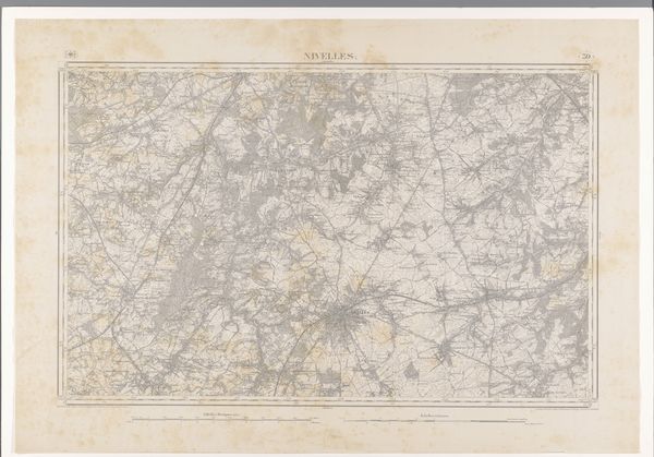
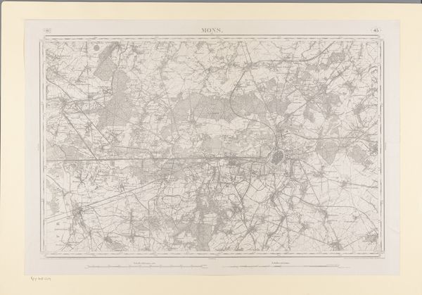
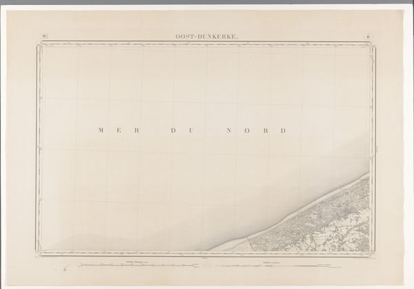
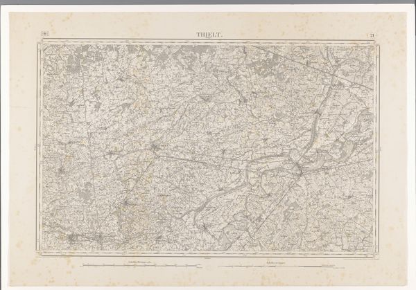
print, etching, graphite
# print
#
etching
#
landscape
#
etching
#
geometric
#
graphite
Dimensions: height 671 mm, width 963 mm
Copyright: Rijks Museum: Open Domain
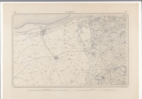
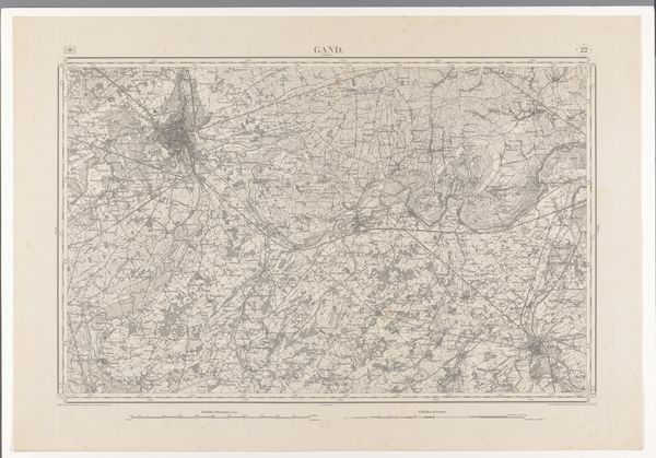
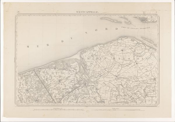
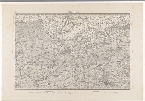
Editor: So this etching from 1865, "Kaart van de omgeving van Oostende," is basically a map by diverse creators using print, etching and graphite. Looking at it, I see more than just geographical data; there's a story embedded in how the landscape is represented. It almost feels like a memory of a place. What sort of stories do you think this piece carries? Curator: Precisely! A map is never just a neutral representation. Consider the cartographer's choices: What is included? What is omitted? Even the style of rendering imparts meaning. This particular map, created in a specific historical moment, echoes both scientific ambition and subtle propaganda. Notice how Ostend is situated in relation to the "Mer du Nord." How does the rendering of that relationship shape one’s perception of the land? Editor: So, the map isn't just about the physical space, but about controlling the narrative of the place, is that it? The prominence of the sea for instance, and the rendering of landscape – how do those details emphasize or diminish the importance of the city? Curator: Absolutely. Think about who would have been viewing this map in 1865. What was Ostend’s position, not just geographically, but also culturally and politically? The very act of mapping claims ownership, not necessarily in a literal sense, but in a psychological one. It projects a vision, a claim on cultural memory. Editor: That makes so much sense! It's almost like the map becomes a symbol of authority and perspective rather than just a layout. I'll never look at maps the same way. Curator: Indeed. Now consider how later maps echoed or challenged the claims embedded within it. The memory of this landscape, encoded and reshaped, lives on.
Comments
No comments
Be the first to comment and join the conversation on the ultimate creative platform.
More like this