drawing, print, ink
#
drawing
#
map drawing
# print
#
ink
#
geometric
#
realism
Dimensions: height 670 mm, width 972 mm
Copyright: Rijks Museum: Open Domain
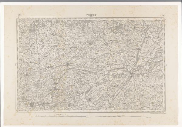
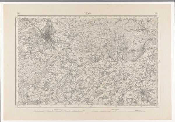
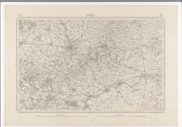
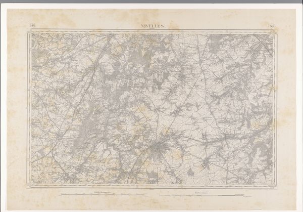
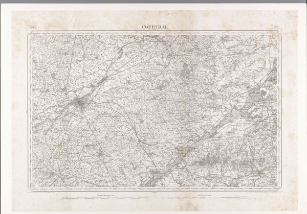
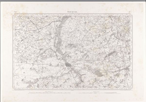
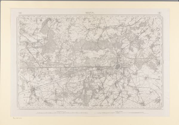
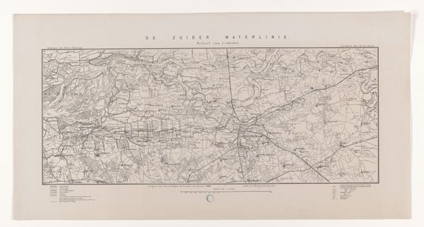
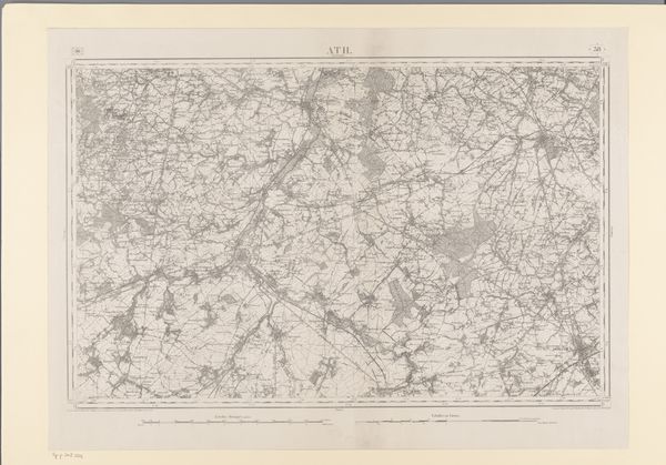
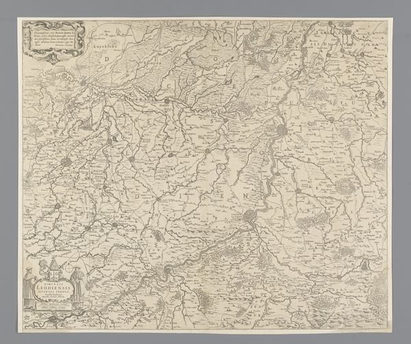
This is a map of the area northwest of Lokeren, carefully crafted by various makers using printing techniques. Look closely, and you'll notice the intricate network of lines and symbols, all meticulously transferred onto paper. The map's monochrome palette emphasizes the precision required in its production. The texture of the paper itself contributes to the map's overall aesthetic, lending it a tactile quality that invites exploration. But beyond its visual appeal, this map tells a story about labor and production. Creating such a detailed map involved surveying, drafting, engraving, and printing – each stage requiring skilled labor and specialized knowledge. This map reflects the social and economic forces at play, including trade, transportation, and urbanization. So, next time you encounter a map, remember to consider the materials, processes, and social context that shaped its creation. By doing so, we can appreciate the artistry and craftsmanship inherent in even the most utilitarian objects, challenging the traditional distinctions between art and craft.
Comments
No comments
Be the first to comment and join the conversation on the ultimate creative platform.
More like this