print, etching, engraving
#
aged paper
#
toned paper
#
16_19th-century
# print
#
etching
#
old engraving style
#
landscape
#
etching
#
engraving
Dimensions: height 661 mm, width 956 mm
Copyright: Rijks Museum: Open Domain
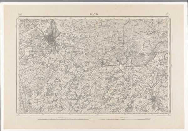
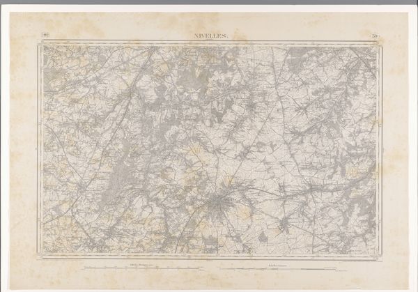
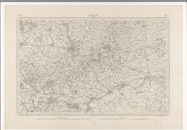
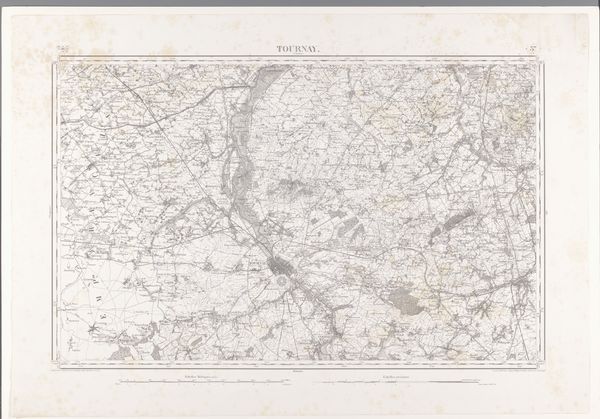
This map of the Tielt region, crafted by various makers, invites us to consider the symbolic weight of cartography itself. Lines, here, do more than represent roads or rivers; they trace the contours of human endeavor and settlement. Consider the river as a motif. In antiquity, bodies of water were boundaries, obstacles, and sources of life, often depicted with serpentine forms echoing ancient myths of creation and chaos. This meandering river in Tielt’s map still carries a hint of that primeval symbolism, a reminder of the natural forces shaping human history. The careful markings of settlements—clusters of human activity—echo the enduring human drive to order and control the environment. Maps like these aren't just practical tools, they're visual assertions of power and understanding. They are a testament to our ongoing dialogue with the world.
Comments
No comments
Be the first to comment and join the conversation on the ultimate creative platform.
More like this