print, engraving
#
ink drawing
# print
#
cityscape
#
engraving
#
realism
Dimensions: height 603 mm, width 888 mm
Copyright: Rijks Museum: Open Domain
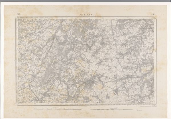
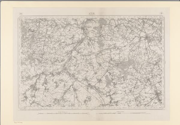
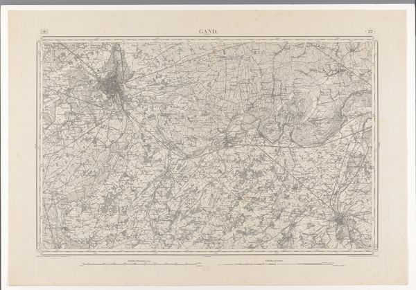
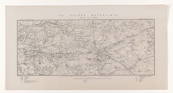
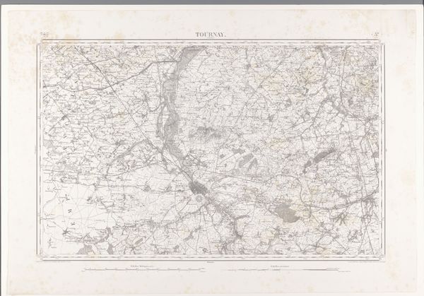
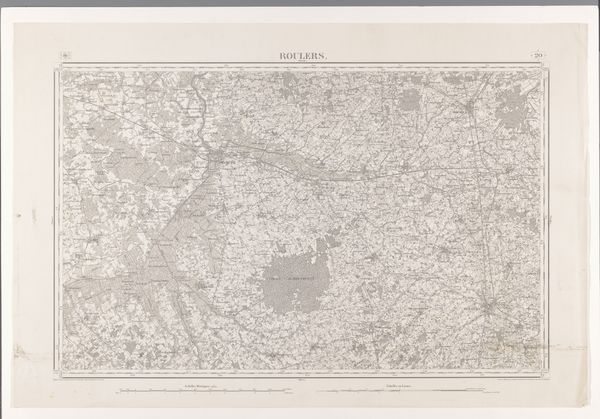
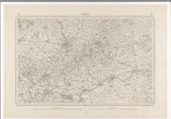
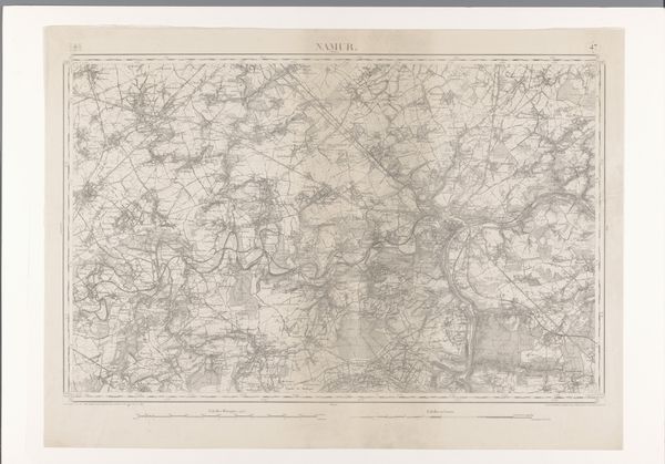
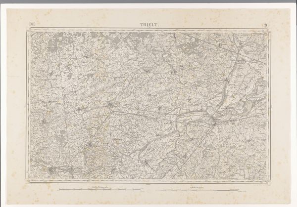
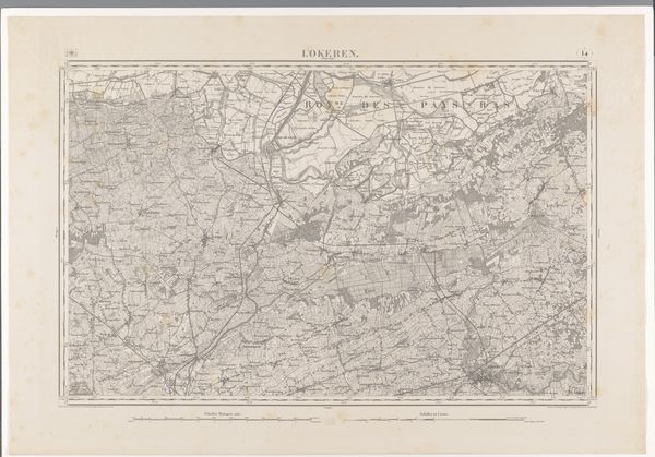
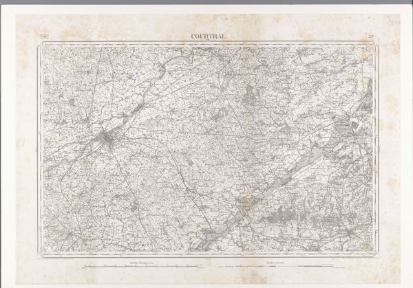
This is a map of the area around Bergen, created by diverse makers. While the exact date of its creation remains unknown, maps like these were crucial tools in shaping perceptions of space and power. Historically, maps were not just neutral representations; they were instruments used to claim territories, define borders, and exert control over both land and people. Think about how the act of mapping itself involves a process of selection. What is included? What is left out? The intersectional nature of such a map lies in how it reflects the identities and histories of those who created it, as well as those who used it. It subtly encodes biases and agendas, influencing how we understand spatial relationships and social hierarchies. This map invites us to question the narratives embedded in our understanding of place and identity.
Comments
No comments
Be the first to comment and join the conversation on the ultimate creative platform.
More like this