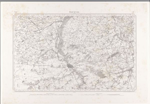
print, etching
# print
#
etching
#
landscape
#
etching
#
geometric
#
cityscape
Dimensions: height 641 mm, width 956 mm
Copyright: Rijks Museum: Open Domain
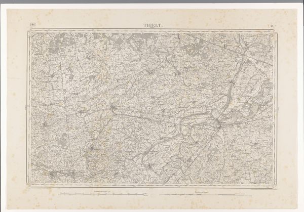
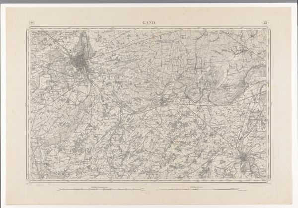
Editor: We’re looking at a detailed map from 1865 titled "Kaart van het gebied ten noordwesten van Roeselare," attributed to various makers and rendered as an etching print. The sheer intricacy of the lines is captivating, like a woven tapestry. What do you see in this piece as an art historian? Curator: Indeed. Let's focus on the purely visual aspects. The intricate network of lines immediately commands attention. Note the systematic variations in line weight and density; they operate semiotically to denote spatial relationships, highlighting specific locations. Are you able to decode what exactly these various lines tell us? Editor: I think thicker lines probably delineate the main roads, while thinner ones suggest smaller pathways or geographical boundaries? Curator: Precisely. Also observe how the geometric forms—rectangles, squares, and circles—interact within the composition. They introduce structure, offering a rigid framework against which the 'organic' sprawl of the etched textures may be appreciated. Can we even consider a certain tension as being created within these conflicting geometries? Editor: It’s like a controlled chaos, almost! It looks super precise, but has that handmade, imperfect feel from the etching process. It seems as though the cityscape is not simply presented, but also represented, artistically. Curator: Very astute. The textures arising from the etching process serve a critical function: the introduction of depth and differentiation within what could otherwise be a sterilely precise visual field. This ensures its value as more than a mere objective cartographic document, and qualifies the artwork as a semiotic device laden with culturally significant meanings. Editor: This piece seems like more than just a map. The rigorous visual analysis really elevates our understanding. Curator: The synthesis of geometric order and etched textures certainly suggests the possibility of viewing a common cartographical image through a rather new lens.
Comments
No comments
Be the first to comment and join the conversation on the ultimate creative platform.
More like this