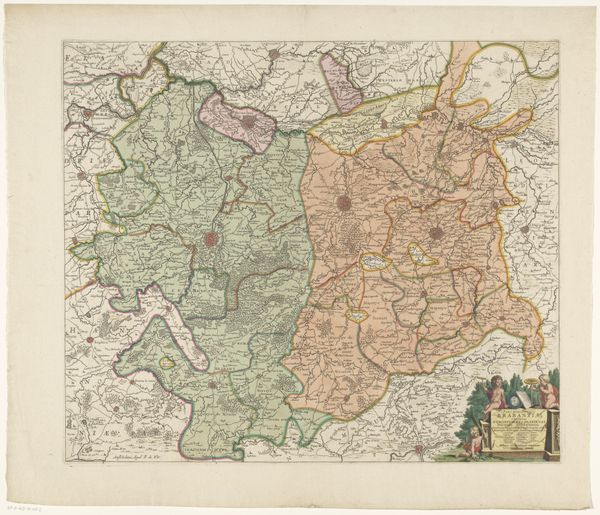
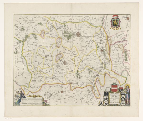
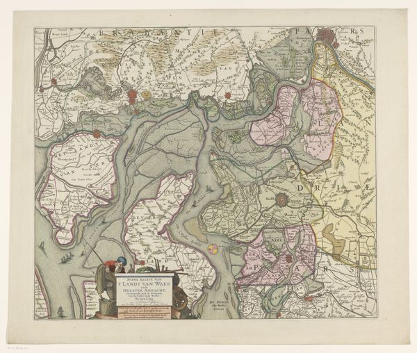
print, etching
#
dutch-golden-age
# print
#
etching
#
landscape
#
linocut print
#
cityscape
Dimensions: height 450 mm, width 546 mm
Copyright: Rijks Museum: Open Domain
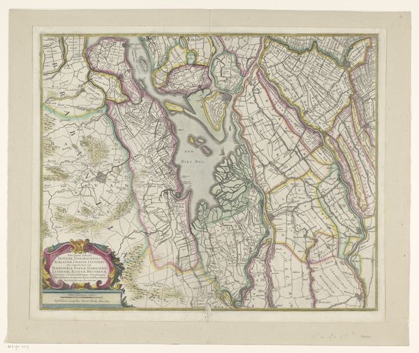
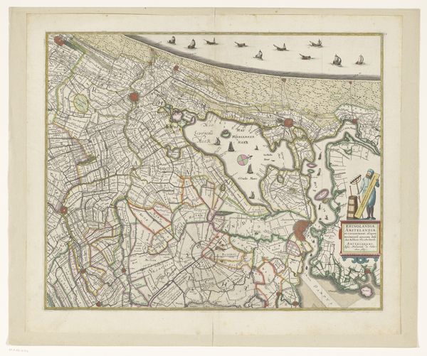
Editor: So this etching, "Kaart van een deel van Zuid-Holland," dating from 1629 to 1711, offers such a detailed view of the Dutch landscape. I'm struck by how much information is packed into a single image; it feels incredibly symbolic, almost like a coded language. What do you see when you look at this work? Curator: Immediately, I’m drawn to the visual encoding of power and knowledge. Maps have always been imbued with a kind of authority. Each line, color, and symbol on this map participates in defining not just physical space but also conceptual space, how people understand their world and their place within it. Do you notice how the waterways and land divisions seem meticulously planned? Editor: Absolutely. It's as if they're trying to impose a sense of order onto the natural world, shaping it to fit their ideal. Curator: Precisely. Consider the use of color – those deliberate patches that denote territories. These are not simply aesthetic choices. Color becomes a signifier of ownership, control, and cultural identity. And note the ornamental cartouche. The figures tell us about the culture of those who create these works. How would that cultural identity shape the memory of a place? Editor: It really puts the landscape into a new perspective! Before I just saw the pretty picture. Curator: Visuals become like cultural memory. The images on this map are not static, but living elements that keep telling the stories of the past, adding layers to how a region can be perceived and understood. I wonder, how accurate do you think the image is versus its true purpose? Editor: Hmmm…I had not thought about that. What a lesson. Thank you! Curator: My pleasure!
Comments
No comments
Be the first to comment and join the conversation on the ultimate creative platform.
More like this