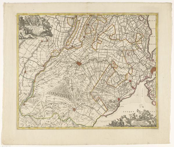
drawing, paper, watercolor, ink
#
drawing
#
baroque
#
paper
#
watercolor
#
ink
#
coloured pencil
Dimensions: height 150 mm, width 233 mm
Copyright: Rijks Museum: Open Domain
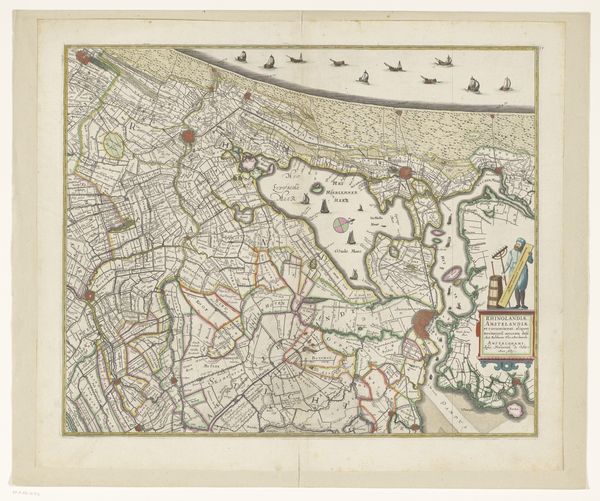
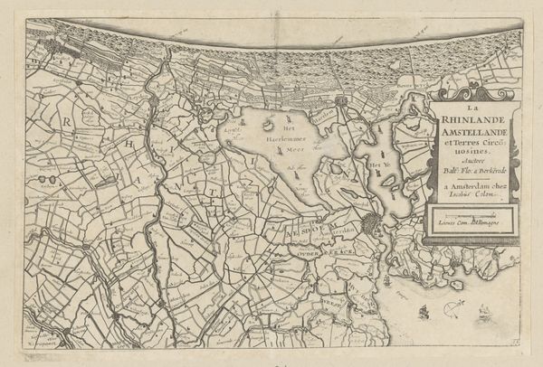
This is an anonymous, undated map of Rijnland and Amstelland. The map's creation and circulation is embedded in the historical context of the Dutch Golden Age, a period marked by economic prosperity, overseas trade, and the rise of cartography. This map is more than just a geographical tool; it's a cultural artifact that reflects how land was perceived, divided, and controlled. The detailed rendering of the landscape speaks to the period's fascination with order and structure, mirroring the Dutch emphasis on land reclamation and water management. The map invites us to consider how these landscapes shape identity. As you gaze at this map, think about the lives, histories, and identities of those who lived, worked, and traveled through these landscapes. Their stories are intertwined with the very ground beneath our feet. What stories would they tell about this place?
Comments
No comments
Be the first to comment and join the conversation on the ultimate creative platform.
More like this