print, etching
#
16_19th-century
# print
#
etching
#
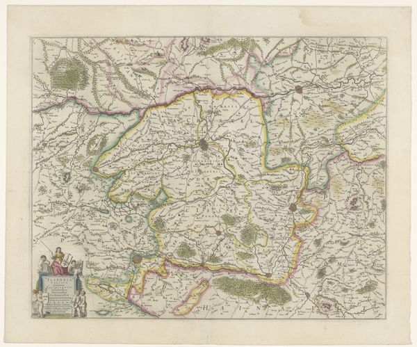
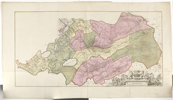
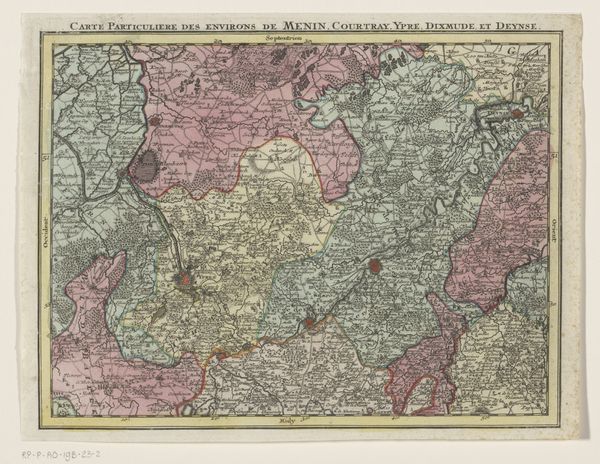
landscape
#
etching
#
cityscape
#
realism
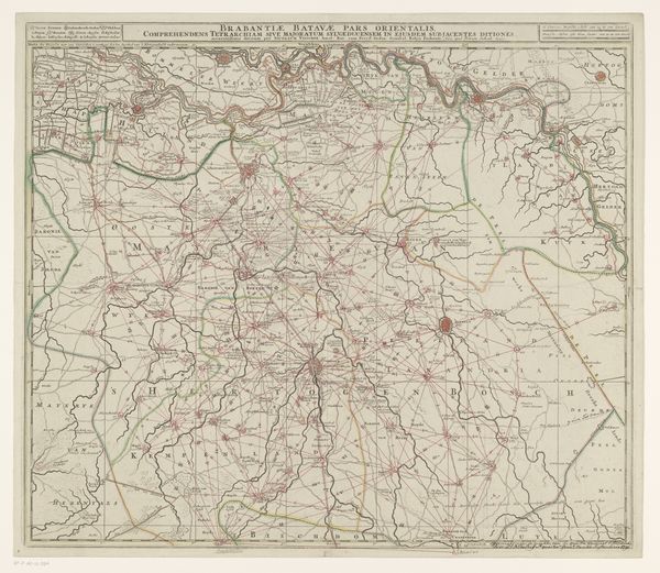
Dimensions: height 749 mm, width 626 mm
Copyright: Rijks Museum: Open Domain
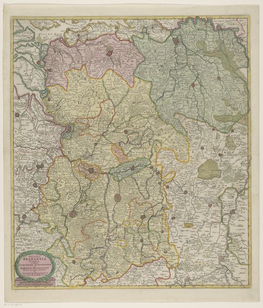
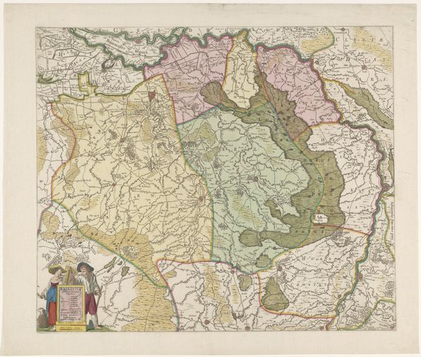
Curator: This is Adriaan Jan Bogaerts' "Map of the New Dutch Waterline," an etching dating back to 1882. The detail is extraordinary. Editor: Immediately, it feels incredibly…strategic. All those precise lines and demarcated zones give me a sense of control and planned intervention in the landscape. A bit clinical, really. Curator: Indeed. Notice how the New Dutch Waterline itself is depicted – this defense line using intentional flooding to protect the country. You can almost see the calculated vulnerability. Editor: Absolutely! And how the various regions are colored distinctly? Each color must signify a particular elevation, depth, or flood capacity. It transforms the familiar terrain into a meticulously quantified chessboard. Curator: Precisely! Look at the linear precision of the etching – how Bogaerts captures this engineered space. One can observe both the artistry of cartography and a symbolic portrayal of the Dutch relationship with water. Almost a love-hate thing, isn't it? Editor: Love-hate… definitely a turbulent co-existence visualized as art. Those neat grids overlaying a naturally fluid system is the paradox of power, that’s really the art! It's like taming a wild beast by organizing the landscape to follow lines on paper. The vulnerability you mentioned has now taken center stage. Curator: In that respect, it speaks to how landscape painting – this cityscape, really – becomes another kind of power: the power of representation. That etching could, in its way, have influenced military strategy, economic choices, or the very psychology of a nation. Wild. Editor: I never imagined military intelligence could spark so much awe. Seeing the work has definitely tweaked my appreciation of seemingly objective documents, and just goes to prove all art tells a story. Thanks for showing me this. Curator: My pleasure entirely. I think Bogaerts would appreciate our chat on it!
Comments
No comments
Be the first to comment and join the conversation on the ultimate creative platform.
More like this