drawing, print, paper, ink
#
drawing
#
baroque
# print
#
paper
#
ink
#
coloured pencil
#
geometric
#
cityscape
Dimensions: height 120 mm, width 175 mm
Copyright: Rijks Museum: Open Domain
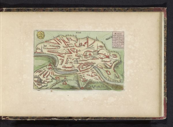
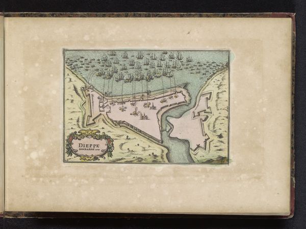
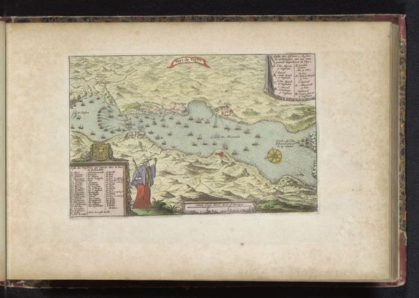
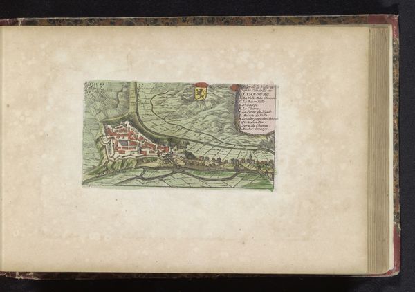
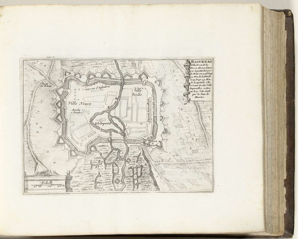
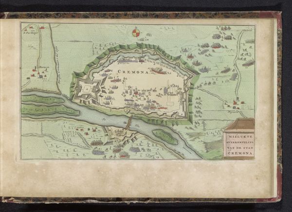
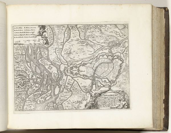
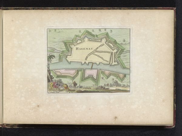
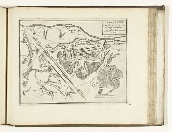
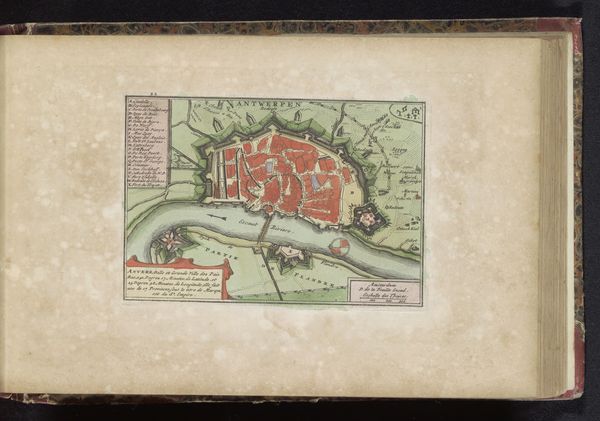
This map of Mantua was created in 1702 by an anonymous artist. The visual experience is dominated by a structured composition. We see a landscape with a fortification, rendered in precise lines and gentle colours. The layout is carefully organized, dividing the scene into distinct areas, each labelled, and offering a semiotic system of signs that communicate detailed information about the city's geography. Here, the map functions as a text; the elements like colour, shape, and line work together to challenge fixed meanings, presenting a subjective interpretation of space. Note the formal quality of cartography—how this map's structure reflects broader cultural and philosophical concerns. Maps are not neutral representations; they are constructions of power, influencing perceptions of space and control. As such, its artistic merit lies in the convergence of form and function, embodying the era's intellectual landscape.
Comments
No comments
Be the first to comment and join the conversation on the ultimate creative platform.
