About this artwork
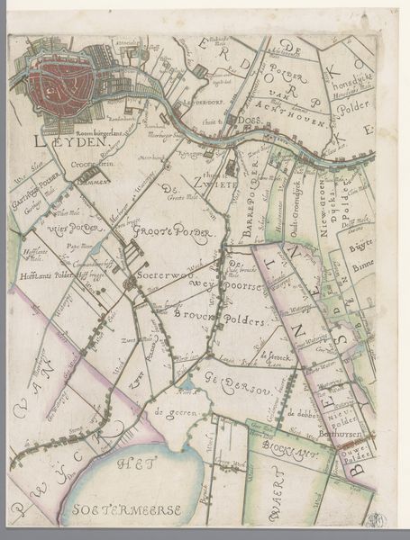
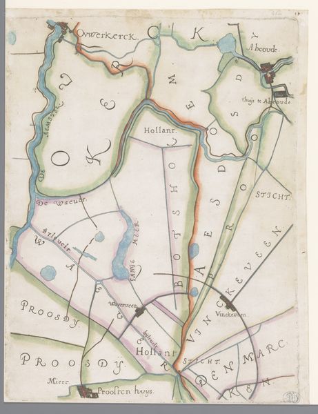
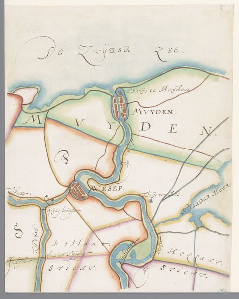
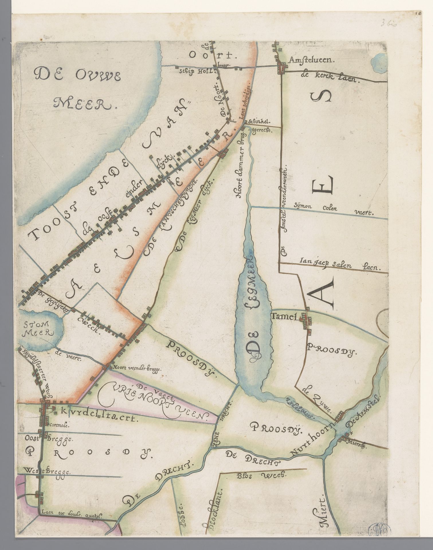
This is a section of a map of the Hoogheemraadschap of Rijnland, with Amstelveen and Schiphol, created by Floris Balthasarsz van Berckenrode. The use of line and color to delineate space and waterways commands our attention. The map's structure presents a fascinating interplay of representation and abstraction. Linear forms meticulously chart the waterways, while patches of color denote landmasses, creating a semiotic code that invites interpretation. The map presents not just a geographical rendering, but a constructed view of space. The careful arrangement of elements challenges our conventional understanding of perspective and scale. Through this flattening of space, the map destabilizes fixed meanings, inviting us to question our relationship with the environment. The map becomes a site of ongoing interpretation.
Deel van een kaart van het Hoogheemraadschap van Rijnland, met Amstelveen en Schiphol 1615
Floris Balthasarsz van Berckenrode
1562 - 1616Location
RijksmuseumArtwork details
- Medium
- drawing, paper, ink
- Dimensions
- height 361 mm, width 270 mm
- Location
- Rijksmuseum
- Copyright
- Rijks Museum: Open Domain
Tags
drawing
dutch-golden-age
landscape
paper
ink
Comments
No comments
About this artwork
This is a section of a map of the Hoogheemraadschap of Rijnland, with Amstelveen and Schiphol, created by Floris Balthasarsz van Berckenrode. The use of line and color to delineate space and waterways commands our attention. The map's structure presents a fascinating interplay of representation and abstraction. Linear forms meticulously chart the waterways, while patches of color denote landmasses, creating a semiotic code that invites interpretation. The map presents not just a geographical rendering, but a constructed view of space. The careful arrangement of elements challenges our conventional understanding of perspective and scale. Through this flattening of space, the map destabilizes fixed meanings, inviting us to question our relationship with the environment. The map becomes a site of ongoing interpretation.
Comments
No comments