drawing, print, paper, ink, engraving
#
drawing
#
dutch-golden-age
# print
#
pen sketch
#
landscape
#
paper
#
ink
#
geometric
#
genre-painting
#
engraving
Dimensions: height 483 mm, width 609 mm
Copyright: Rijks Museum: Open Domain
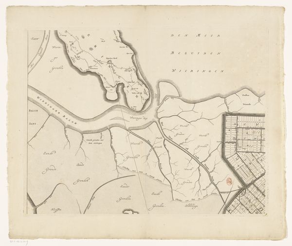
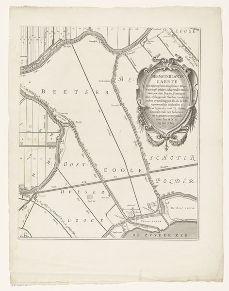
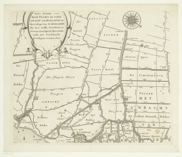
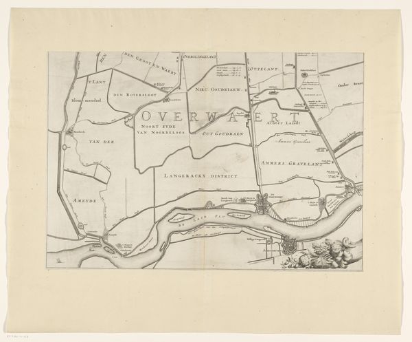
This is a section of a map of the Ring of Putten, created by Gilliam van der Gouwen, using ink on paper. Now, maps, like this one, are not usually considered artworks, but I would urge you to reconsider. The production of a map like this required skilled labor, using tools like compasses and rulers to transfer geographical data onto paper. Think of the act of surveying the land, a process intimately linked to economic systems of property and ownership. The delicate lines and annotations reveal the careful hand of the draughtsman, but also the broader social context of land management, trade, and the assertion of control over resources. The very act of defining and representing territory has huge political implications. So, next time you encounter a map, consider it not just as a tool for navigation, but as a crafted object embedded with layers of meaning, reflecting the complex interplay of materials, skill, and social power.
Comments
No comments
Be the first to comment and join the conversation on the ultimate creative platform.
More like this